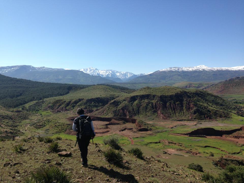
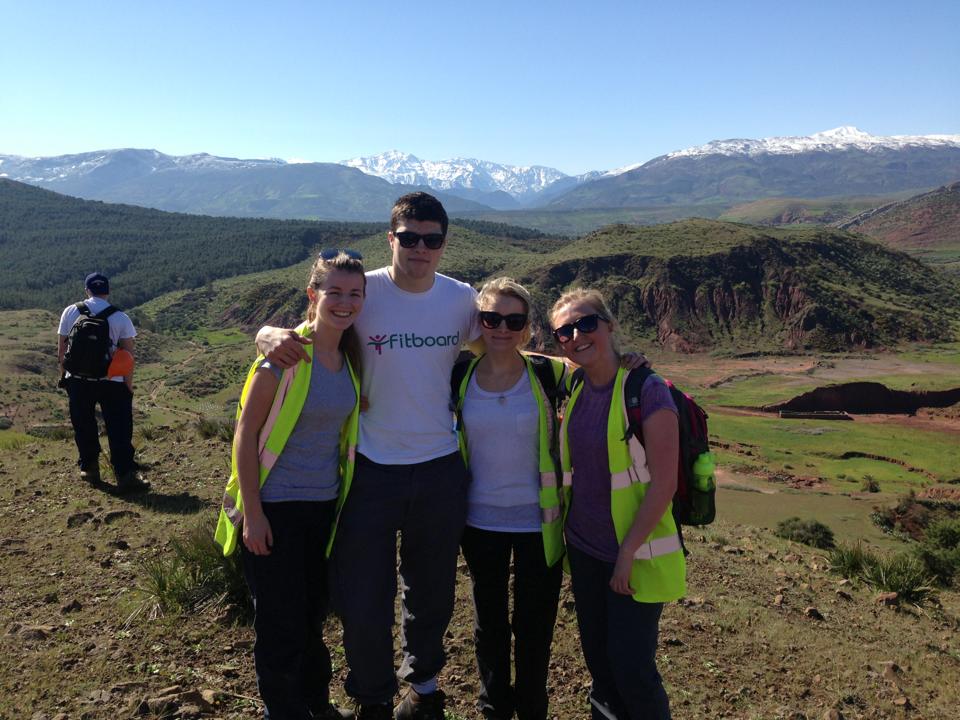
My Last Blog Post!

Hi all!

This is my last blog post before I hand over to the new Physical Geography Student Ambassador for the 2014/2015 academic year. I hope you’ve enjoyed reading my posts over the past year! Here’s a little summary of what i’ll be doing now as I come to the end of my MPhil….

I am aiming to hand in a final copy of my MPhil thesis by the end of this month, which my supervisors will then review whilst i’m away in Nicaragua, Central America, on a 10 week volunteering trip with Raleigh International! The project is development based and is part of International Citizen Service (ICS), which brings young people together to fight poverty and is fully funded by the Department for International Development. I’ll be working alongside volunteers from Nicaragua and the UK on a project that focuses on sustainable natural resource management, and water and sanitation. ICS works with communities that have specifically requested their help and aims to inspire young people in the UK and overseas to become active citizens who are passionate about long term community development.

To take part in the project I had to raise £800 to allow Raleigh International to continue to bring about positive changes in the development communities where they work. In order to raise this money I ran the Bupa Great North 10K, completing the 6.2 mile course in 59 minutes!

I’m hugely excited now to be submitting my MPhil and moving on to something new. Towards the end of a research degree it does become quite draining and motivation is hard together, but hopefully it’ll all be worth it in the end when i’m back in January looking for jobs!


Thesis Submission Looms

As I am now coming down to the last two months of my MPhil research, and desperately trying to finish on time (!!), i thought i’d most a small snippet from my literature review regarding the use of surface roughness as a tool for distinguishing and characterising morphological features. Enjoy………!

Surface morphology is one of the most commonly used criteria to characterise and distinguish alluvial surfaces of different ages (Wells et al., 1987, Bull, 1991, Ritter et al., 1993, Frankel and Dolan, 2007). Previous studies suggest that alluvial surfaces become smoother with increasing age before reaching a threshold (~70ka) where, once crossed, roughness increases with age (Bull, 1991, Matmon et al., 2006, Frankel and Dolan, 2007). This tool is critical for active tectonic investigations as based on the estimated ages of surfaces and their measured displacement, fault slip rates, recurrence intervals and bracketing ages of deformation events can be determined. However, quantifying surface roughness in the past has been difficult due to the available aerial photographs and low-resolution remotely sensed data, which lacked the spatial resolution necessary to make a quantitative comparison between alluvial surfaces (Farr and Chadwick, 1996). Past field techniques included clast size counts and topographic surveying however these methods were labour intensive and generally limited to a small spatial extent, thus providing data only on a small area of each individual surface (Frankel and Dolan, 2007).

The growing use of LiDAR (Light Detetction and Ranging data) has renewed interest in the quantitative characterisation of alluvial landforms and is now providing new opportunities to study landforms in unprecedented detail. The high-resolution of LiDAR topographic data and its associated highly accurate DEMs enables surface characteristics to be readily and easily extracted, in particular surface roughness. Previous investigations employing the use of LiDAR DEMs, together with measuring surface roughness to differentiate and characterise landscape morphology, have included mapping the spatial and temporal characteristics of a landslide in New Zealand (McKean and Roering, 2004), as well as an investigation into debris flow fan patterns in central Death Valley, California (Staley et al., 2006). More recently Frankel and Dolan (2007) demonstrated that alluvial fan surfaces of differing ages can be successfully distinguished through quantifying surface roughness, derived from high-resolution LiDAR data. These past studies confidently suggest that the second objective to analyse surface roughness derived from high resolution LiDAR data can be used to efficiently differentiate and map alluvial landforms.

My First Postgraduate Conference!

Last Thursday the Geography Department at Newcastle hosted the annual NEQUA (North East Quaternary) Postgraduate Symposium, an event open to all physical geography postgraduate students from Universities in the North East. The event was a fantastic opportunity to meet fellow postgraduate students from different Universities within all stages of their postgraduate study.

In total there were 11 postgraduate students from Newcastle, Northumbria and York. Each student gave a short 10-15 min about their research, which encompassed any area of Physical Geography. Topics ranged from deglaciation and climate change in Antarctica to snow levels in the Alps! The conference enable an excellent opportunity for postgraduates to present their research and meet others in a relaxed and friendly environment. Following the end of the conference we had a wine reception and talk by Professor Martin Siegert from Bristol University who discussed recent research into the glacial history of East Antarctica. We then went on to continue our discussions in the pub!

My first experience of a postgraduate conference was fantastic! In particular, as there are relatively few postgraduate physical geographers within the Newcastle department, it was great to meet other students within the same field. Attending conferences as a postgraduate student is definitely something I would recommend, especially if you intend to follow a career in research once you have completed your study.


Fieldwork in Morocco!

So at the end of March I was lucky enough to be invited as a teaching assistant on the second year physical geography fieldtrip to Morocco! Here are a couple of pictures:

Overlooking the Northern Piedmont of the Atlas Mountains

Overlooking the Northern Piedmont of the Atlas Mountains

Team Tagine at our first stop in Ait Ourir

Team Tagine at our first stop in Ait Ourir

Morocco 3

The Atlas Mountains

The Atlas Mountains

Sketching the Geological Deformation in the Skoura Basin

Sketching the Geological Deformation in the Skoura Basin

The 12-day field visit to Morocco consisted of an introduction to the local geology near the Northern Piedmont of the Atlas Mountains before travelling south over the mountain range to the Oasis of Skoura, where we conducted fieldwork for 5 days. Here the students focused on their group led projects which composed of mapping, assessing and quantifying the Quaternary deformation of the Southern Piedmont of the Atlas Mountains. Following the fieldwork in Skoura, we travelled to the Dades Gorges which were magnificient! Here we completed a 10km hike through the gorges which allowed for fantastic views. On the final day before flying back to Newcastle we completed a cross sections from Ait Ben Haddou, a UNESCO site we were lucky enough to visit, to Telouet where we saw the maharaja’s summer kasbah.

The fieldtrip was a great success with myself and the students experiencing a side of Moroccan culture which most tourists will never get to experience. I now need to get back on track with my own MPhil project. Its very easy to get so tangled up in teaching that you suddenly realise your own research is getting left behind!!

Postgraduate Teaching Opportunities

As a PGR student at Newcastle you get to experience some fantastic opportunities such as teaching on undergraduate modules related to your field of study. In the last week I have begun teaching on second and third year undergraduate tectonic geomorphology modules and am absolutely loving it! For these modules I aim to aid students with their understanding of the key processes and systems driving global plate motions and how these link to major landform development. Additionally, I am assisting on the second year undergraduate fieldtrip to Morocco to help students with their understanding of the structure, topography and geology of the Southern Piedmont of the Atlas Mountains, with a view to assessing the level of deformation caused by active faulting in the area. I have previously participated on this trip before as an undergraduate in my second year and am extremely excited to return to the Atlas Mountains. This is a very remote and beautiful part of the world and I highly doubt I would ever have gone independently as it is so difficult to access, so I am extremely thankful that through this university i’ve been lucky enough to go twice!

Aswell  as getting to visit fantastic places in the world, my teaching experience is also great for my cv and has allowed me develop excellent time management, organisation and leadership skills. Becoming proficient in time management and organisation stems from myself balancing my research degree and current teaching commitments. Whilst my leadership skills have advanced when leading seminar groups in conducting mapping and analysing journals, and will further benefit via the Morocco fieldtrip. These skills are essential for graduate jobs and furthermore, the experience has enabled me to decide what career path I would like to go down in the future!


Research Delays

As I have learnt from the older Physical Geography PhD students here, often research students come across obstacles that delay their research as we are so reliant  on various equipment to undertake our studies. In my case, I require use of the equipment in the Cosmogenic Isotope Facility at the University to process the rock/sand samples I collected in California. Ultimately this process will allow me to identify the age of particular surfaces at my study area, which is essential for matching offset surfaces together and locating possible earthquake ruptures.

The Cosmogenic Isotope Facility is a fantastic, state of the art laboratory however unfortunately, as with everything, various pieces of equipment currently need replacing, meaning the laboratory won’t be up and running again for a minimum 6 weeks. When I initially submitted my project proposal for my MPhil thesis I was required also to submit a gantt chart which highlighted what I would be doing and when to demonstrate that my proposed research could be completed within a year.  Originally, I had planned to spend a couple of months after my research trip to California processing my samples in the laboratory and obviously the delay caused by waiting for new equipment to arrive has disrupted this plan.

This has required me to be flexible and stay optimistic! Luckily I have plenty of mapping to do in the mean time so I have simply had to re-arrange my time. Often this is the case with a research degree, therefore I advise whenever applying for a research degree or writing a research proposal to keep an open mind and be ready to adapt to whatever new situation may arise.

🙂

My Research Trip to California!

I have just got back from a fantastic 10 day research trip to Southern California with two of my supervisors, where we collected the primary data I need for my thesis. The focus of my thesis is to understand the tectonic deformation created by the San Andreas Fault within the Coachella Valley of Southern California. Here an earthquake has not occurred in over 300 years and is long overdue!

My study area was located an hour outside of Los Angeles and here we stayed for 5 days, experiencing consistent blue skies and 28 degree heat, even though it is the middle of their Winter! The 5 days of fieldwork consisted of mapping my study area, digging 2m deep trenches to sample the surface geology and eating a lot of Mexican food! As it is their Winter, the sun would set about 4.30pm each day so thankfully we were able to have some free time in the evenings and visit Palm Springs and Desert Hot Springs. However, this meant we had to be out at the site by 7.30am with a 6.30am wake up call, ouch!

One problem I experienced out at my field site was accessibility to every surface I wanted to investigate within my study area. This was due to the large number of wind farms that have been built within the Coachella Valley over the last 10 years, which are all fenced and gated. I knew when organising the fieldwork proposal that this may be a problem and luckily when we actually arrived at the study area there were numerous dirt roads which drove through the wind farms, so thankfully we were able to investigate the majority of the area. However, due to dumping and drug use in one area two surfaces I would like to have sampled were completely fenced. I did get in contact with the manager of the wind farm in that area, nevertheless health and safety regulations meant we were unable to gain accessibility.

Overall the trip was a great success, with 9 trenches being dug and 85 samples posted back to the University. I will now begin to process theses samples in the cosmogenic isotope laboratory and attempt to calculate the age of each surface to investigate if there is any correlation between surfaces north and south of the fault line, which may indicate an earthquake rupture!

I have to say that there are much worse ways to start the year!

My Transition from Undergraduate to Postgraduate Geography

I am now three months into my MPhil and I can’t believe how fast this first term has flown by! This is undoubtably due to my busy timetable. Unlike my undergraduate degree, where most weeks averaged roughly 8 hours contact time with lecturers, I am in everyday from 9am-6pm, spending the majority of my mornings writing project and grant proposals whilst the afternoons are heavily based on laboratory work. However, despite my hectic timetable I have to say I am really enjoying my new fast paced and busy life style! Each day has a new purpose and while some days are challenging, I feel I am continually being productive and progressing. This is a vast comparison to my undergraduate days of waiting around my student rented accommodation, keeping myself busy until my housemates would get home and entertain me!

Furthermore, the longer hours spent in Uni has enabled my relationships with members of staff and other postgraduate students to blossom. Often after a long day in Uni drinks at the Trent House, dinner at the Bangkok Cafe or just a cup of tea at the Quilliam Brothers Tea House are all a common occurrence and I feel I have made just as many new friends as I did in my first year of my undergraduate. Additionally, this is a better way to relax and unwind on an evening rather than going home, getting straight into bed and watching countless episodes of rubbish on 4od, as I often would after a long day at the Robinson Library in my final year!

Thus far, I have to say I am really enjoying life as a Postgraduate Student and am looking forward to my studies progressing after the Christmas break!

Merry Christmas 🙂