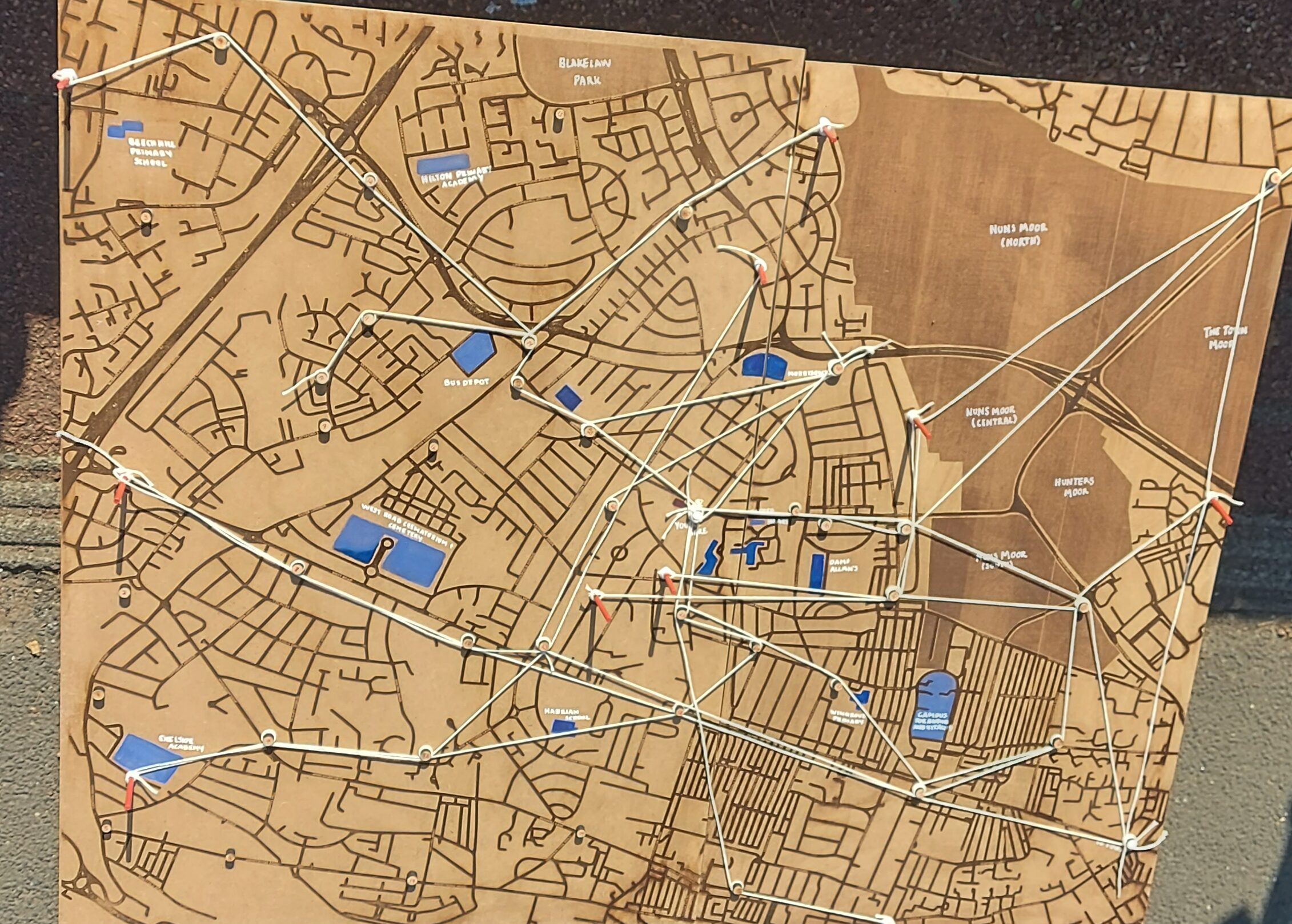
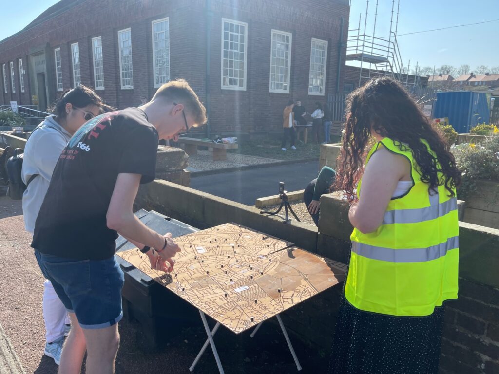
As a part of the Fenham Futures event on March 26th, members of The Fenham Line looked into residents opinions of transport links in Fenham, particularly asking participants to consider areas of Newcastle they would like to see connected to Fenham through the proposed new form of public transport. This was achieved through the use of interactive mapping in the form of a ‘game’, and conversations with passers by to highlight some of the most important ‘stations’ to be implemented in Fenham – those areas most frequently linked through desired routes.

This engagement led us to some unexpected, though highly valuable, discoveries of the perspectives of Fenham residents. Where we as researchers approached the concept of transport with a vision to improve connections between the West End and the City Centre, we found out instead many local residents would prefer an improvement in the connections to surrounding areas, including Benton, Elswick and Jesmond, along with circular routes around the community.

Approaching this event with an interactive map enabled us to produce a visual output for attendees of the event, allowing them to not only show us their preferred route, but also see the preferred route of others. With each route remaining on the map for the next contributors to see, it became possible for us to understand the most common areas of interest – allowing us from an outside perspective to gain insight into the preferred routes of the users.
As the vision for climate imaginaries for Fenham Futures continues to develop, we invite you to share your ideal routes below – whether this be by street name, business, public spaces or further areas of Newcastle.
And ask yourself: where can the future of transport take you?
