My name is Coleen Murty and I began my PhD with Newcastle University and the British Geological Survey in September 2017. My research aims to increase current understanding of carbon cycling in peatlands and determine whether these large terrestrial carbon sinks can be preserved, protected and even harnessed to store external carbon. In this blog post, I talk about the experience I had while out on a recent field visit to my study site in Cumbria.

Coleen Murty – 1st Year Geosciences PhD Student at Newcastle University
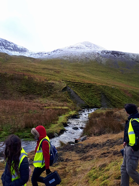
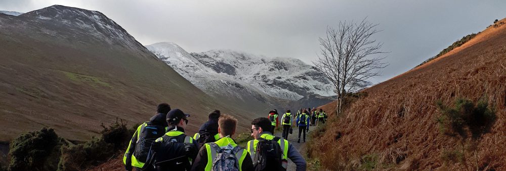
In late February 2018, I was joined by Dr Christopher Vane (British Geological Survey) and Dr Geoff Abbott (Newcastle University) on a field visit to Butterburn Flow, the largest of 58 wetlands which lie on the border between Cumbria and Northumberland. Butterburn is a Site of Special Scientific Interest (SSSI) and is considered one of the most valuable mires in England, operating as a substantial carbon sink. We were particularly lucky, as the weather was perfect with clear skies and sunshine, which is a rare occurrence on Butterburn Flow! During our 3 day visit, we took water table measurements and collected peat cores, water samples and moss samples.
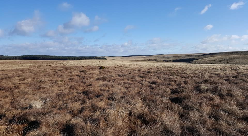
Butterburn Flow, a valuable carbon sink and the largest of 58 wetlands which straddle the border between Cumbria and Northumberland.
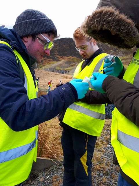
Peat coring, water sampling and moss sampling
One of the main challenges of the trip was carrying gear and equipment through uneven and boggy ground containing loads of hidden ditches! – Although this provided me with a great opportunity to learn the technicalities of collecting different types of peat cores. We collected a series of 1-2 m peat cores using a combination of Russian coring equipment and polycarbonate tubes. Various cores were taken from 4 different sites across the bog, each containing a water level datalogger used to monitor changes in the water table overtime. Water data and air pressure can be downloaded onto an android device and correlated with peat cores taken nearby. Changes in the water table can have positive or negative impacts on a peatlands ability to accumulate carbon and therefore must be carefully monitored. The collected peat cores will be used for a combination of geomolecular and bulk geochemical analyses: from bulk density measurements used to estimate carbon stocks, to a series of laboratory mesocosm experiments by which peat cores will be placed in a ‘microenvironment’ where natural field conditions will be mimicked in order to monitor the changing chemistry of the cores in different conditions and assess their ability to sequester carbon.
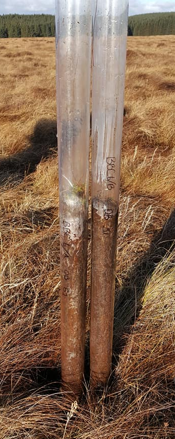
Two ‘push’ peat cores collected in polycarbonate tubing. Peat height ~1 metre.
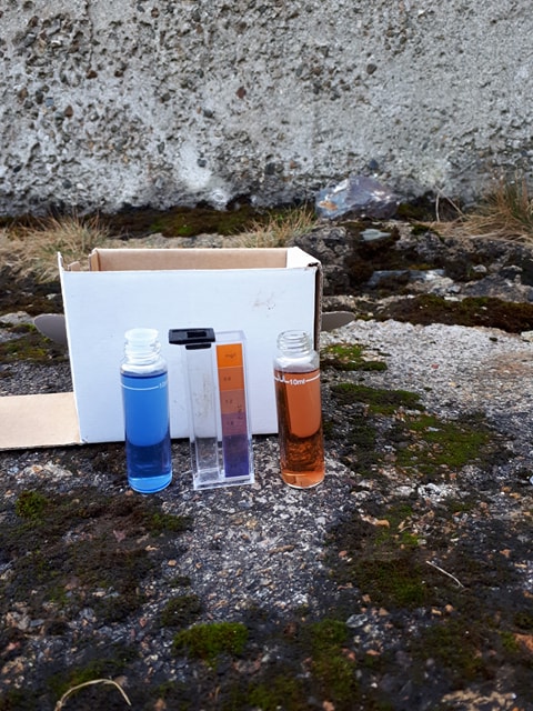
A variety of water samples were collected from: the water level wells, the river which runs across the northern section of the site, and Sphagnum-dominated bog pools. Different Sphagnum moss species were also collected for species identification and chemical characterization. The nature and abundance of carbon within the bog and river water running off the peatland will give insights into the source, stability and fate of different organic molecules being flushed through the peat profile and how their mobility affects the resilience and vulnerability of the carbon being retained within the wetland. Sphagnum moss is the dominant peat-forming species across the Northern peatlands. It thrives in wet, acidic conditions and its high recalcitrance allows it to store large amounts of carbon compared to other peatland plants. Characterizing the water extractable, solvent-extractable and macromolecular chemistry of Sphagnum moss will improve current knowledge regarding its role in carbon cycling within peatland ecosystems.
Peatlands are complex systems where carbon accumulation rates exceed decomposition rates, however this balance of carbon uptake and loss may be shifted by periods of intense drought which are becoming more common in the light of climate change. Finding solutions to protect and preserve carbon stocks locked up in peat is essential as we move towards a more sustainable future.
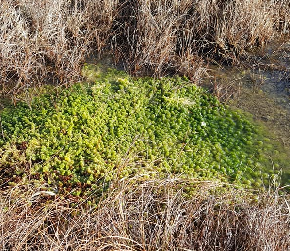
Bog pool with an abundance of Sphagnum cuspidatum growing at the water surface
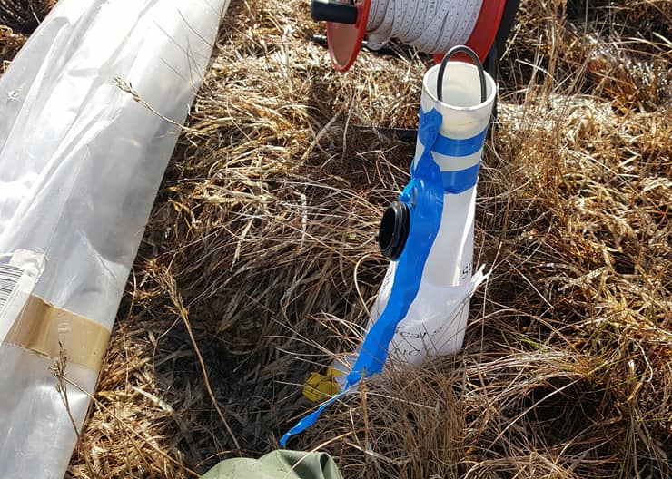
Levelogger well containing water monitoring equipment which records alterations in the water table (four of which are deployed across the site)