At the same time that we carried out the resistivity survey of the villa we also carried out a much larger survey using a Bartington gradiometer. This type of instrument senses very slight changes in the earth’s magnetic field caused by burning, silting or the dumping of refuse.
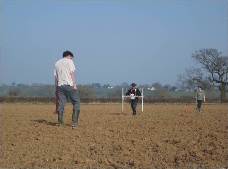
Geophysics near the villa in 2009 © The Lufton Villa Project
The survey was designed to identify the extent of the Roman villa (visible in the SE corner of the western field) and to see if there were any associated buildings or features like roads, trackways and field boundaries. The results showed that these heavy clay fields had a lot of modern field drains in them (these are visible as parallel lines running NNW to SSE on the graphic below). There were also hints that an archaeological landscape was preserved in these fields.
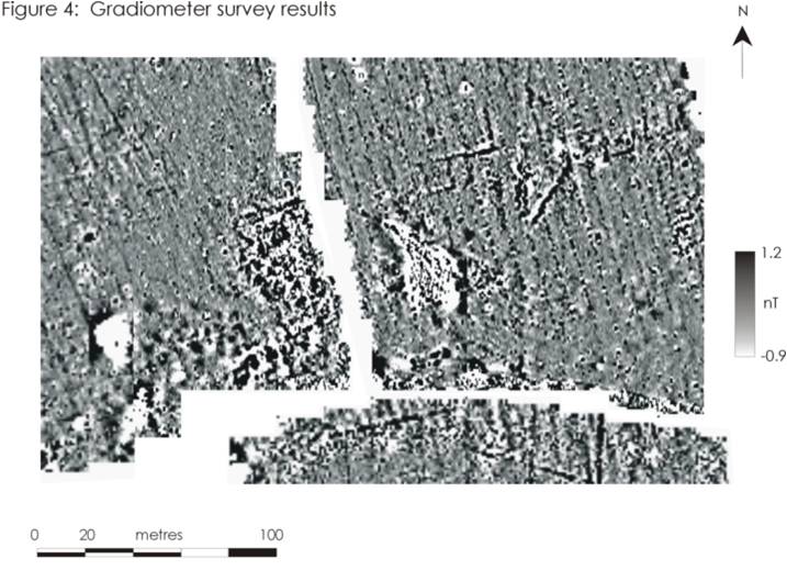
A greyscale plot of the results of the gradiometer survey (Caldwell 2009, Fig 4)
As we were to discover, this survey was a little bit like lifting the corner of a rug. When we carried out a more extensive survey to the south incredible things were revealed…