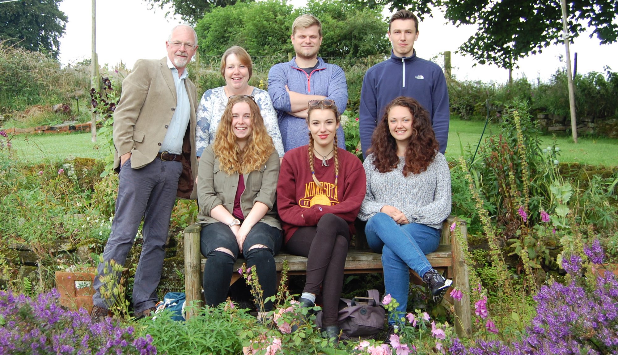
Today, Kimberley joined our small team, having graduated the previous day (well done Kimberley!). Caron, Kimberley and Bella went out surveying with the GPS, recording a couple of settlement sites, some ridge and furrow and a long boundary. With storms forecast for tomorrow, we will take stock, load our results into the GIS and plan the rest of our surveying campaign.
While we were working, the farmer and his family came and chatted to us. They have lots of knowledge about the historic features on the farm, but were interested to find out about the earthworks and stone foundations of an earlier farm, right across the road from the present day farmstead. We have begun recording it with the GPS and will come back to do a more detailed topographic survey. At this early stage we think we may have the foundations of a tower.
Later that day, we spoke to the farmer again when he visited us on a site that he had thought was a sheep fold, but which we think may be a previously unrecorded shieling with an attached fold. Photos to follow in a couple of days
