Charlotte, a third year MEng Civil Engineering student writes about her work on the third year Design of Sustainable Engineering Systems module …
For the first three years of the civil engineering degrees we have one main design module, DSES (Design of Sustainable Engineering Systems) each year, which is designed to incorporate different elements from the other modules that we do.
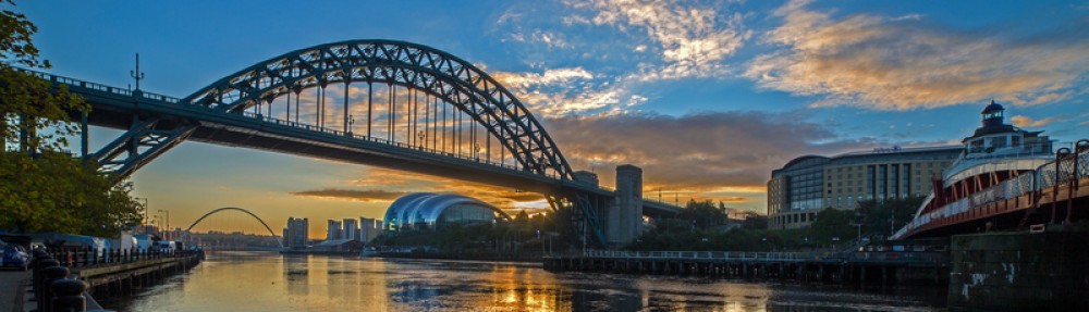
The project we were given this year was based on the ‘Science Central’ site in Newcastle which, when completed, will be a mixed use development site that consists of business, university and residential buildings.
For our work in the first term we had two main deliverables:
- A poster presentation – in our design teams we had to produce three A1 posters that showcased our development site and the work we had done to get to this point.
- A 75 page desk study – talk in detail about our conceptual design for the site and all of our research.
DSES is one of my favourite modules each year because you get to see where all the information learnt in lectures will actually be applied in the ‘real world’.
For the first time in DSES we got to select our teams ourselves so we had to pick between working with our friends or working with people we know work hard and produce good work. Luckily for me I managed to get a team that contained both! We had to produce a masterplan of the site, a conceptual design for the flagship University building alongside waste management plans, geotechnical appraisals and transport assessments.
This sounds like a lot of work, and it was! We spent a lot of hours outside of university meeting and working as a group to produce the final outputs and we lost a couple of weekends to the cause. We weren’t thrown completely in the deep end with it however. As I said before these modules are designed to interlink with and support the rest of our learning, and we received lectures on the specific deliverables for each section from members of staff and people from ARUP (who have worked on the masterplan for the actual ‘Science Central’ development.
My personal favourite part of the module is the poster presentation – we had to design three posters that looked aesthetically pleasing but were also informative to industry and the public. I am a perfectionist, it is probably one of the best and worst traits about me. I need everything to be 100% in order and looking good, and although for posters this is important, it was also important to ensure the relevant information was actually on the posters. This is why it’s good to achieve a real mix of people in your group because everybody keeps everyone else on track. Also, on the day of the presentation everyone dresses smart in their best outfits and presents to the ‘clients’ and the public which is really fun because we get to see what all the other groups have produced and at the end of the day one team wins. (This year it was my team that won so I’m probably a bit biased towards liking the presentation!)
The most time consuming of this project was, as expected, the actual report. This is where the real detail came in. All of our research from the past 11 weeks of work had to be consolidated, referenced, written up and formatted into a fully coherent report. At the end of the day though we produced a really high quality body of work.
Even after all this work, DSES is still one of the best modules. Working in and depending on a group of people to help you get a good grade is hard but in the end the work is most definitely worth it and for want of a non-cheesy way to say this – you do become better friends with you team mates.