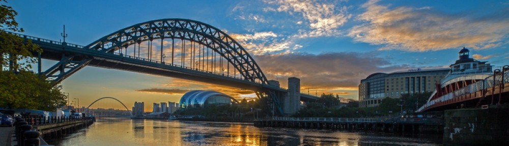

26th March 2017 was when the stage 2 Earth Science students went to the Isle of Arran on a field mapping field trip. We set off early on the Saturday morning getting on the coach to the ferry across to Arran and the views were amazing (see photo 1).
1: Amazing views from the ferry.
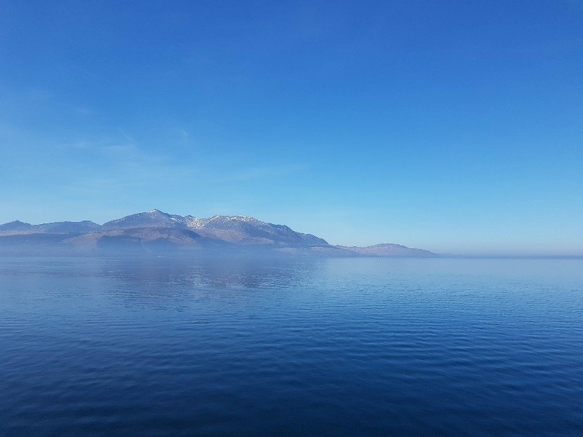
We then had a short drive to the field centre which was in the north of the island (see photo 2).
2: Lovely views from the field centre.
After settling into our rooms and having a tour of the facilities, we went to Hutton’s Unconformity as this is a famous geological landmark of the place we were staying in.
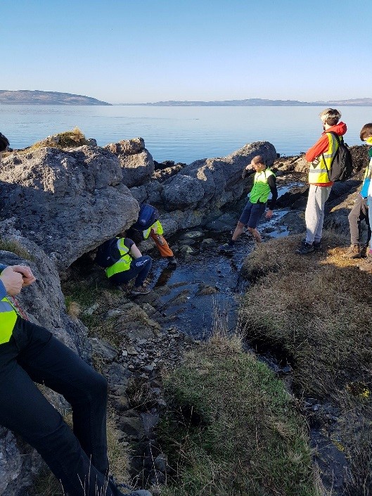
3: Students having a closer look at Hutton’s Unconformity
The next day was where the lecturers took us to see all of the main types of rock that we would be seeing during the next week. This was useful as there is a big difference between looking at a hand sample in a lab to looking at an in situ outcrop. That evening we had a classroom session to go through our plans for the week and work out our strategy for creating the geological map. We were in groups of three and had a 5km2 area of land to map.
The next morning we got dropped at the location that we had chosen, the weather was great, so we were in for a good day. My group decided to map the south of the area first and to complete our graphic log so that we didn’t have to worry about it later in the week. We started off on the beach to map the boundary between one formation and the volcanic formation which we had seen the previous day. The beach was a good idea to start with as the geology often outcrops in large areas on the beach. We found lots of what we thought might be crossbedding but we took photos to show our lecturer in the evening (see photo 4).
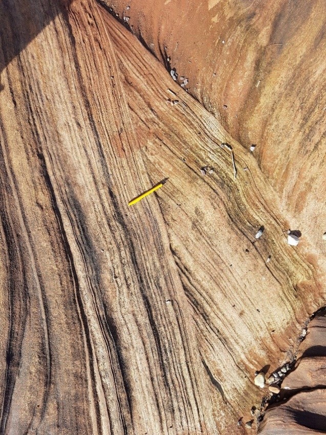
4: Crossbedding on South Corrie beach with pencil for scale.
The next day we chose to map the river in the north of the site because in a similar way to on the beach, there are many outcrops (see photo 5). We started at one end of the river and walked along it towards the coast noting when we saw a change in appearance of rock, and taking dip and strike measurements frequently as we went.
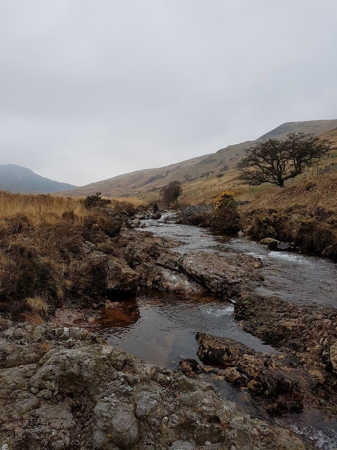
5: A small section of the North Sannox river.
In the evening we transferred all of our observations onto our maps and made plans for where we wanted to map the next day.
This field trip really helped us to put what we had learned in lectures into practice in terms of rock identification and making links between the geology and environment. It also gave us skills and ideas for our individual project in Stage 3.