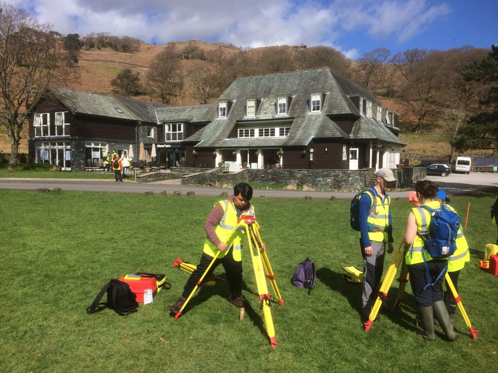
During the Easter holidays, the Stage 1 Surveying & Mapping Science and GIS students went on a field course to the Seathwaite Valley in the heart of the Lake District. It was a challenging and rewarding eight days that brought together all of the theory acquired in lectures and practicals and applied it in a real world setting. This series of blogs will share some of the highlights from the perspective of a surveying and mapping science student.
It’s the fourth day of the field course and it’s hard to believe we’re already at the halfway point! I’m writing this blog from the Glaramara House, our hotel which is serving as our base for the duration of the fieldcourse. We arrived at Glaramara on Thursday morning after a scenic two-and-a-half hour coach ride from Newcastle. The setting is stunning: a pastoral valley of green fields; dry stone walls and streams; surrounded by craggy fells; waterfalls and oak forests. Our mission for the field course is to create a detailed map of the valley, but first we need to lay the foundations by creating a control network.
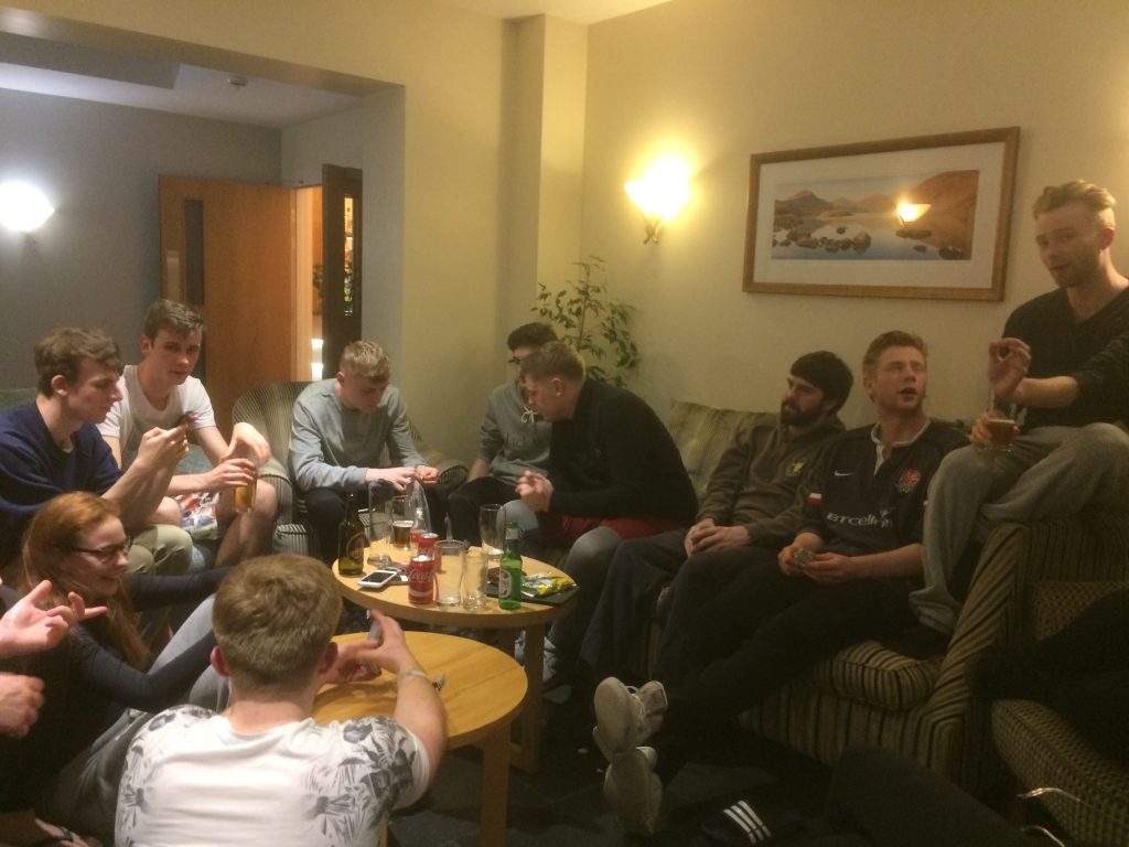
Shortly after arriving at Glaramara, we donned our high-vis and waterproofs to undertake our first task: brushing up on the surveying skills we’d be using over the next eight days. The valley is famous for being the wettest inhabited place in England, and it’s definitely living up to its reputation. After a soggy afternoon of measuring angles and levelling, we dried off and enjoyed what would be the first of many delicious dinners. A pint from the hotel’s bar was the perfect way to celebrate a successful first day.
The next morning, we enjoyed a full English breakfast before beginning our next task: establishing the primary control stations throughout the valley. We were divided into teams and taken by minibus to our assigned locations. Using total stations, we spent the day measuring the angles and distances between points. We would be using this data later to compute the coordinates of the stations. The blustery weather was a challenge, especially looking back to the relatively easy practical’s we did at Town Moor back in Newcastle, but we persevered.
Yesterday’s assignment was to determine the height of points around the valley using spirit levelling. Simple enough…or so we thought. My team quickly realized that those lovely green fields were essentially giant mud pits and the stone walls an endless maze to navigate through, but it was a great feeling when we arrived at our last benchmark. Another job finished and I’ve never been more grateful for a hot shower!
Today the GIS students have joined us and we’ll be going out in teams to create secondary control networks around the valley. It looks like it’s going to be a beautiful day, better bring along the sun cream!


