TransMob: A micro-simulation model for integrated transport and urban planning
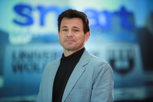
Prof Pascal Perez, SMART Infrastructure Facility, University of Wollongong, NSW
4-5pm, 24th May, Room 2.32: Cassie Building, Newcastle University
To book your place please register online
 How will current socio-demographic evolution affect future transport patterns and traffic conditions?
How will urban development and transport policy influence the quality of life of various segments of the local community?
The ‘Shaping the Sydney of Tomorrow’ Project (StSoT) was commissioned by Transport for NSW (Australia) to better understand the interactions between transport and land-use dynamics as experienced by individuals and households over extensive periods of time (15-20 years). Stepping away from traditional optimisation, our model focuses on anticipating short and long-term emergent consequences and feedbacks resulting from interactions between people and their urban environment, through the creation of ‘what-if’ scenarios (risk assessment approach). The innovative design and development of TransMob aims to challenge three traditional but highly limiting modelling assumptions:
TransMob is made of six modelling components: (1) synthetic population, (2) perceived liveability, (3) travel diaries, (4) traffic micro-simulator, (5) transport mode choice and (6) residential location choice. The model is applied to the inner south-east area of Sydney metropolitan area and simulates the evolution of around 110,000 individuals and 50,000 households over 20 years, according to various transport and land use scenarios.
