Helping NAMRIA develop the Philippine Active Geodetic Network (PageNET) with Ordnance Survey International

Last month, Peter Clarke and Stuart Edwards spent a week at the National Mapping and Resource Information Agency (NAMRIA) in the Philippines, leading a training course on crustal deformation modelling and dynamic datum definition, and consulting with stakeholders in the expanding Philippine Active Geodetic Network (PageNET) of continuous GNSS receivers. This is part of a project led by Ordnance Survey International to assist NAMRIA in developing geodetic user services such as network RTK GNSS. You can read more about the visit on NAMRIA’s news page.

Recent research summary for EUREF

With the help of colleagues, I’ve just finished writing a brief summary of our geodetic research in the last year, as a contribution to Ordnance Survey’s national report for Great Britain to the EUREF 2016 meeting.  The EUREF 2016 Newcastle report shows that it’s been a very productive year for the group, with publications across a wide range of topics.  Hopefully more to come this year!

Kinematic GNSS estimation of tropospheric water vapour

At long last, Sam Webb’s paper on fully-kinematic GNSS estimation of tropospheric water vapour throughout a trajectory ranging from ~100-1100 m above mean sea level, is out (gold Open Access). Thanks again to Snowdon Mountain Railway for supporting the fieldwork, the NERC British Isles continuous GNSS Archive Facility for ancillary data provision, and of course our collaborators at the Met Office.

train

Samuel R. Webb, Nigel T. Penna, Peter J. Clarke, Stuart Webster, Ian Martin, and Gemma V. Bennitt (2016).  Kinematic GNSS Estimation of Zenith Wet Delay over a Range of Altitudes. J. Atmos. Oceanic Technol., 33(1), 3–15.
doi:10.1175/JTECH-D-14-00111.1

Two papers on ocean tide loading

Just out in the Journal of Geophysical Research – Solid Earth (accepted articles online), are two articles on ocean tide loading (OTL) research that Nigel Penna, Peter Clarke and collaborators Machiel Bos (University of Beira Interior) and Trevor Baker (formerly at the National Oceanography Centre, Liverpool) have been working on for the last few years (originally funded by NERC).

Paper 1 uses known, synthetic OTL signals inserted in real GPS data to validate the use of kinematic GPS for the recovery of ocean tide loading displacements to within ~0.2 mm amplitude error, using at least 3-4 years’ data, and establishes the importance of correct, simultaneous, estimation of tropospheric delay parameters.  The measurements are shown to be robust with respect to typical levels and patterns of data loss, and levels of reference frame noise, and a heuristic relationship between site background noise and OTL measurement error is proposed.

Paper 2 presents OTL measurements at the M2 tidal period across western Europe, and shows how discrepancies of up to 2-3 mm with respect to modelled values cannot be explained by credible errors in the numerical ocean tide models or elastic solid Earth response models.  The discrepancies can be explained only by changes in the solid Earth response that correspond to anelastic behaviour in the asthenosphere at tidal periods.This anelastic behaviour corresponds to 8-10% reduction in the shear modulus in the asthenosphere, consistent with an absorption band of constant Q~70 stretching from seismic frequencies (1 Hz) through to the semi-diurnal tidal band (2 cycles per day).

Newcastle Geodesy presentations at #IUGG

Lots of presentations by (or involving) members of the Newcastle Geodesy team at IUGG2015 in Prague this coming week!

Tue 23rd, 0915, session HW13a (South Hall 1), Phil Moore on ‘CRUCIAL: Cryosat-2 success over inland water and land: full bit rate altimetric heights and validation’ [sorry, you’ve missed this one already!]

Wed 24th, 1415, G03a (South Hall 2), Phil Moore on ‘GRACE mascon solutions: validation and applications to hydrology, glaciers and earthquakes’
Wed 24th, 1630, session JG01b (Small Hall), Brian Gunter (TU Delft / Georgia Tech) on ‘Using geodetic measurements to improve estimates of Antarctica’s GIA and present-day mass balance’ (solicited)
Wed 24th, 1700, JG01b (Small Hall), Ingo Sasgen (GFZ Potsdam) on ‘Glacial-isostatic adjustment in Antarctica: a new regional estimate derived from space-geodetic data’
Wed 24th, 1745, session JG01b (Small Hall), Eugene Domack (Univ. Southern Florida) on ‘Cryosphere changes as constrained by the LARISSA high-density cGPS network across the northern Antarctic Peninsula’

Thu 25th, 0915, session JG01c (Small Hall), Pippa Whitehouse (Univ. Durham) on ‘Interpreting horizontal GPS rates in Antarctica using a 3D Glacial Isostatic Adjustment model’
Thu 25th, 0930, session JG01c (Small Hall), Matt King (Univ. Tasmania; Visiting Professor) on ‘Post-seismic deformation of East Antarctica followingthe 1998 great Antarctic Plate earthquake’
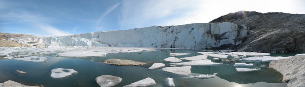
Thu 25th, 1400, session C03d (Small Theatre), Stuart Edwards on ‘A high-resolution sensor network for monitoring glacier dynamics at the Helheim glacier, south-east Greenland’

Sat 27th, poster session G08p-511, Alvarro Santamaria-Gomez (Univ. la Rochelle) on ‘GNSS reflectometry for tide gauge levelling’

Sun 28th, poster session G01p-240, Phil Moore on ‘Colinearity assessment and estimation of geocentre coordinates from SLR data’

Tue 30th, 1145, session G04c (South Hall 2), Simon Williams (NOC Liverpool) on ‘Autocorrelation in GRACE-derived ice mass change time series and their effect on trends and accelerations’
Tue 30th, 1415, session G04d (South Hall 2), Peter Clarke on ‘Anelasticity of the asthenosphere inferred from GPS observations of ocean tide loading displacements in western Europe’ (solicited)
Tue 30th, poster session G04p-137, Nigel Penna on ‘Validation of tidal displacements estimated using kinematic GPS’