SESYNC Workshop on Integrated Modelling

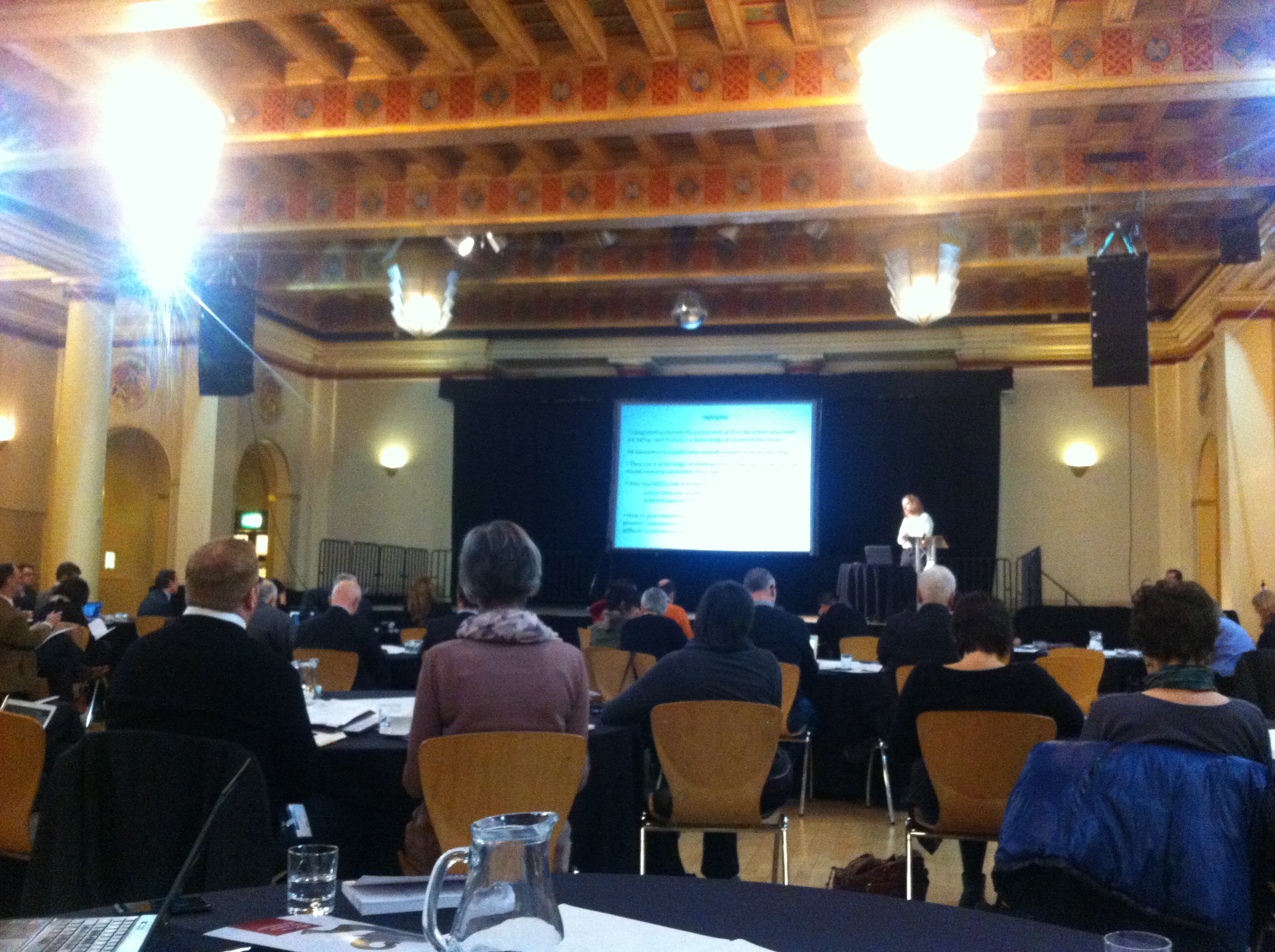
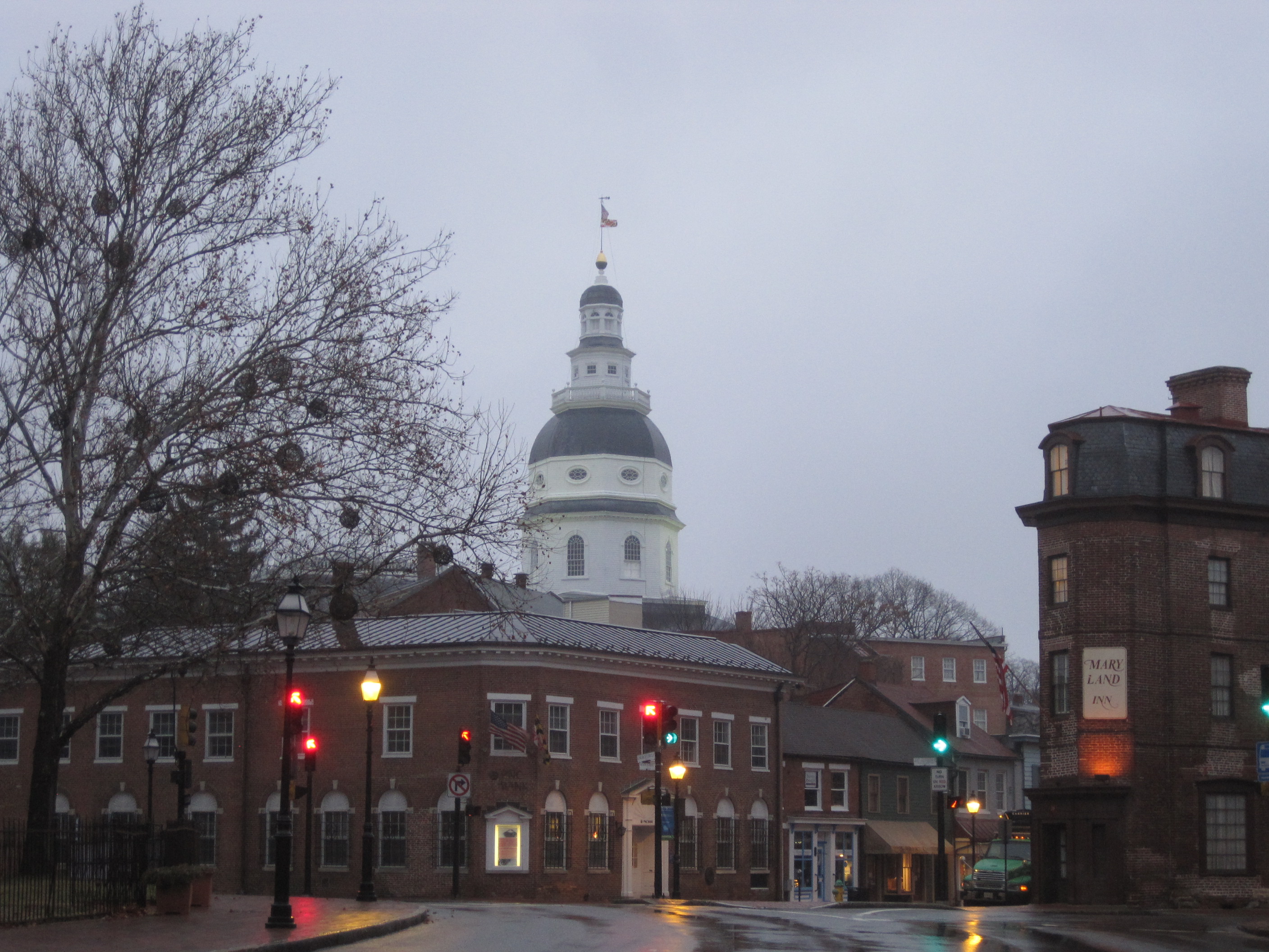
Alistair Ford from the Geospatial Engineering group was recently invited to Annapolis, USA for a workshop on “Development of a Prototype of an Integrated Modeling System for Socio-Economic and Environmental Analysis to Promote Sustainability at the Regional Level”. This workshop was hosted by SESYNC, the US National Socio-Environmental Synthesis Center, with a view to setting up a regional modelling framework for use in Maryland and Chesapeake Bay.

IMG_0636

Rolf Moekel and Gerrit Knaap from the University of Maryland are working on integrating transport, land-use, climate change, and envirnomental models together in order to understand future changes and pressures in the region. First up, Peter Claggett presented the Chesapeake Bay Land Change Model:

Presentation about CBLCM here.

Brian Gregor from Oregon Department of Transportation then presented his R modelling framework for transport and sustainability modelling called GreenSTEP. This allows the testing of many scenarios of land-use and transport futures to understand the impacts on GHGs. The framework consists of a number of R modules and the resultant scenarios (upwards of 200 in one example!) can be interrogated and explored in a Javascript interface.

Brian Gregor’s presentation is available here.

Another interesting presentation was from Brian Deal of University of Illinois at Urbana-Champaign who talked about his LEAM model.  This is a mixed cellular automata and zonal land-use model which run dynamically under uncertainty. It can produce thousands of scenarios and link them to impact models such as flood, water demand, or air quality models.

Brian Deal’s presentation is here.

A number of presentations also talked about data and model integration platforms. Scott Peckham from University of Colorado talked about the EarthCube and CSDMS model integration systems that aim to link together disparate models of similar areas. Tom Bulatewicz from Kansas State University presented the OpenMI model integration platform, and Todd BenDor from University of North Carolina Chapel Hill presented the iRODS database integration plaform which allows the creation of a data grid to collate, curate, update, and link databases.

Scott Peckham’s presentation on CSDMS/EarthCube

Tom Bulatewicz on OpenMI

Todd BenDor on iRODS

The workshop was a very interesting event, with discussions on model complexity, integration, provenance of results, uncertainty, and presentation. The project will be one to watch!

AUM 2014

Alistair Ford has just returned from the fourth annual Applied Urban Modelling symposium (link) in Cambridge where cutting-edge research in spatial simulation of cities, including land-use transport interaction models, agent-based modelling, and big data analysis, was presented and discussed. The conference started four years ago as a reunion of the spatial interaction community of the 1970s to examine progress over the intervening decades, but has grown to include other types of dynamic urban simulation, visualisation, and data analytics.

Michael Wegener (formerly Professor of Spatial Planning at the University of Dortmund) gave a fascinating opening address looking at predictions made by models and modellers 20 years ago and how accurate they had been, This included a discussion of Aldous Huxley’s 1931 book ‘Brave New World’ and whether current advances in data-gathering technologies are taking us in the direction of the future described in that novel! Other presentations on the first day included an attempt to map Lima’s slums using UAVs (ReMap Lima), modelling of all 654 Chinese cities using a parcel-based vector cellular automata model, and a new analysis of Singapore using community detection from transport network flows using analysis of smartcard data (link).  Light relief was provided by a presentation of the Imaginary Lines project, a cross between an art project and an infrastructure model!  To end the first day Paul Waddell from Berkley presented the latest developments from the UrbanSim stable including GeoCanvas, (now available to download for Beta testing) which allows fast 3D visualisation of large urban datasets, and the developments of  UrbanSim to include an IPython interface and PostGIS support.

Mike Batty from CASA at UCL started the second day with a review of progress on urban modelling and the big issues facing the community today (including a loss of faith in predictive ability, loss of parsimony, the need for money and information flows as well as people and goods flows, inclusion of data about transport trips for non-work purposes (which are only ~25% of journeys in cities now), the challenge of growing city regions and globalisation, and the rapid change in cities today). Paul Buchanan from Volterra gave a critique of transport economics, showing how wrong a lot of assumptions (i.e. Value of Time measures) are, before Coen Tuellings from Cambridge University presented his model of land economics and transport in The Netherlands. Pascal Perez from SMART in Australia showed his work on TransMob, an agent-based model of urban travel and residences. The day finished with a fascinating session on the redevelopment of the King’s Cross area of London, giving a real insight into the planning and development process and showing us all just how difficult it is to model the ways that decisions are made in cities!

The final day included sessions on standards and benchmarking (including ISO standards for urban data) and urban dynamics (with some network analysis of city street networks and their evolution). The day, and conference, concluded with a 2-hour round-table discussion about emerging issues, where it was agreed that urban modelling needs to focus on new applications, particularly the challenges posed by climate change  and the need for sustainability. Challenges that we in the School of Civil Engineering and Geosciences are well-placed to meet!


Urban Integration 2014

Researchers from the Geospatial Engineering group (Alistair Ford, Daniel Caparos-Midwood, Shaun Brown) recently attended the Urban Integration conference in Sheffield which marked the end of the EU Cost Action on Integrated Assessment of Climate Change (link). This cost action was led by Prof Richard Dawson, also of the School of Civil Engineering and Geosciences, and aimed at bringing together practicioners from across Europe who are looking at the problems facing cities in an integrated way.

A number of topics were addressed across a broad range of fields, but papers of particular interest to geospatial engineers included Jonathan Kohler (Fraunhofer Institute) on why we need urban models and what characteristics they possess (e.g. simplifying reality, explicitly stating theories and assumptions, simulating future scenarios), Christoph Reinhart from the MIT Sustainable Design Lab on the combination of Building Performance Simulation with other urban models in the Urban Modelling Interface (urbanmodeling.net) and Reinhard Koning from ETH Zurich (check!) who presented his simulation integration platform which allows the combination of model outputs to form an urban planning support system using big data to understand the urban system and find high suitability areas for sustainable development.

Jonathan Kohler at UI.

Other interesting research projects included the iGuess project (link) from the Henri Tudor Institute in Luxembourg, presented by Ulrich Leopold, which is an open-source platform in a database-driven web-based modular framework for performing urban simulations and Vincent Viguie from CIRED in Paris who showed his model of urban growth, NEDUM, linked to the Town Energy Balance (TEB) urban climate model (link) to assess heatwaves and associated health effects (and that even demolishing 10% of Paris’ buildings to create parks will have little effect on urban temperatures!

The conference was a great success and a fitting end to the COST Action.

Alpine Training

At the end of 2012 Dr Stuart Barr and Alistair Ford from the Geospatial Engineering group paid a visit to the University of Innsbruck for a week of discussions, demonstrations and workshops with the ‘Umwelttechnik‘, or the Unit of Environmental Engineering. The group of Professor Wolfgang Rauch specialises in urban water management through novel modelling approaches which link traditional hydraulic modelling with cutting-edge urban, infrastructure and agent-based models. Since the Geospatial Engineering group is interested in environmental sustainability and climate change, the entire journey from Newcastle to Innsbruck was undertaken by train!

Catching up on some reading...

During the week, the researchers from Innsbruck demonstrated their innovative models of water infrastructure development. These link physical simulations of water supply and sewerage systems with future projections of urban growth, allowing assessments of network performance under climate and socio-economic change. Also demonstrated was the ‘ACHILLES‘ approach (link in German) to network failure assessment, ranking each component according to the impact its failure may have on the whole network. The group are based in the Faculty of  Civil Engineering, based on the new technical campus of Innsbruck University. The view from their offices is quite impressive…

A meeting room with a view!

The work of the Newcastle Geospatial Engineering group was also presented to demonstrate alternative techniques for urban development modelling being developed here. Fruitful discussions followed, leading to possible collaboration and crossover activities. The opportunity was also taken to learn about new computing and processing techniques being developed in the Innsbruck group (using GPU processing for hydraulic simulations) and to discuss contrasting open source modelling frameworks being developed by both groups.

After five days of excellent discussions and collaboration, the Newcastle delegation took some time on the Saturday to see the other sights that Innsbruck had to offer before catching the sleeper train back home.

Dr Barr scales the peak (this time on the cable car instead of on foot!)

Unfortunately the snow wasn’t quite deep enough for any alpine sports, although I wouldn’t want to try this one anyway:

The view down the Bergisel ski jump, used in the 1976 Winter Olympics. Scary...

Thanks to Wolfgang and his group at Innsbruck for being such excellent hosts, and look out for news of future collaborations between the two groups.

The End

Ali