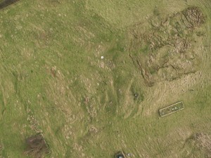
Landslide monitoring with UAV-based approach requires regular imagery acquisition at Hollin Hill British Geological Survey (BGS) observatory site, North Yorkshire. The attached UAV image reveals the progading lobe, intermediate scarps and other landslide features.
The main purpose of this work is to detect the surface change and the landslide velocity field by combining surface matching algorithm and image correlation techniques with UAV-derived mutli-temporal DTMs.
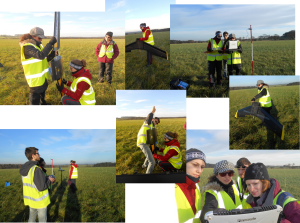
So, last Monday (15/12/2014) was a successful day of the final UAV data collection for the year 2014 at Hollin Hill, UAV flying, terrestrial laser scanning and surveying … we are happy!
We are ready for more UAV flying next year. Best wishes from the Newcastle UAV crew.
Maria Valasia Peppa, PhD student CEG


