
In January we were lucky enough to avoid the worst of the winter snow, wind and even rain on fieldwork based around the Centre for Ecology and Hydrology, Wallingford. This allowed us to take our first leaf-off hedgerow scans using a dual wavelength, full-waveform terrestrial laser scanner (SALCA – loaned to us from Salford University).
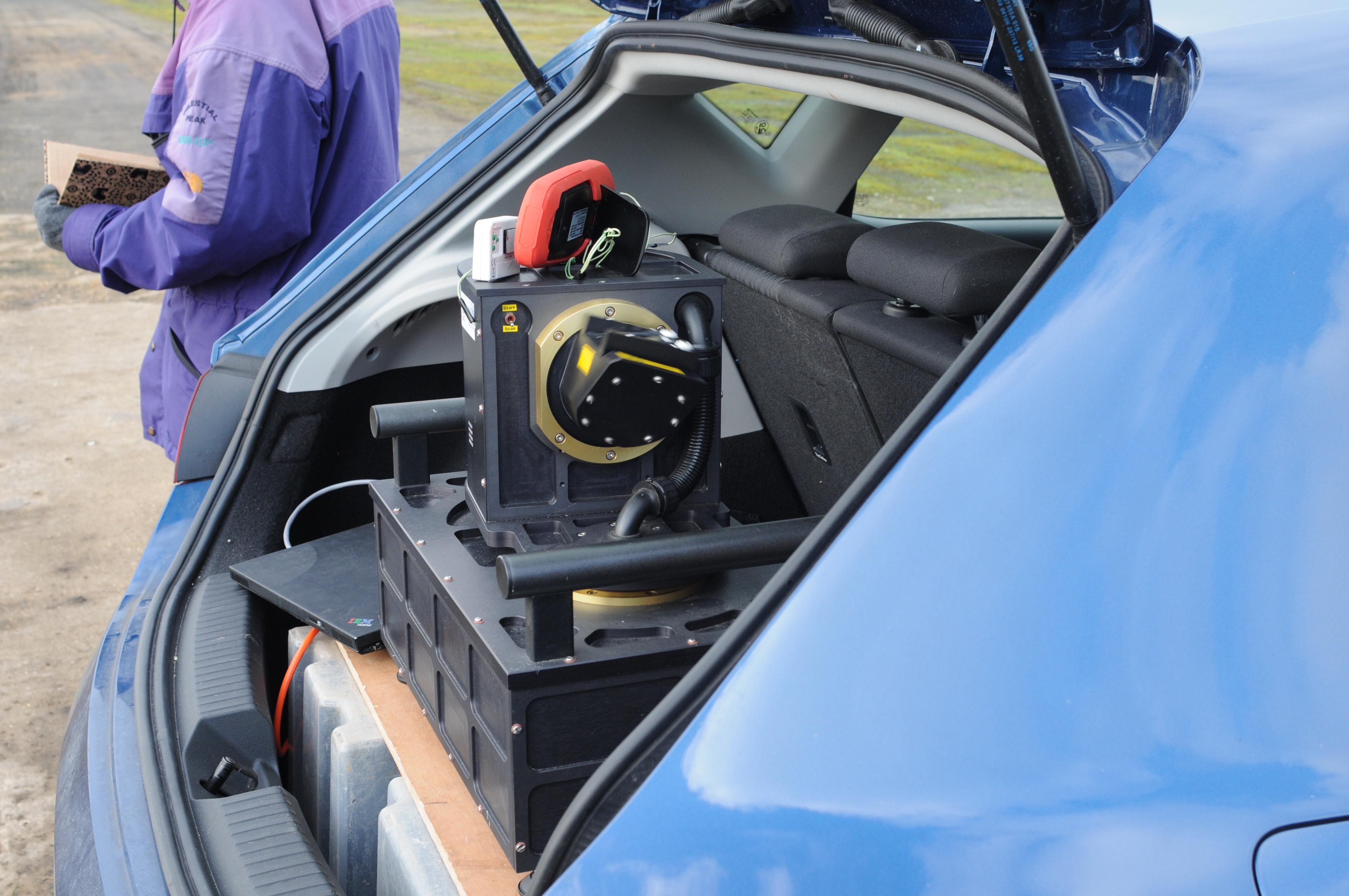
We visited the Defra hedgerow rejuvenation experiment at Newbottle Estate and scanned hedges managed under various rejuvenation techniques including coppice, circular saw, midlands style hedge laying and wildlife hedging. These first scans will form the basis of a methodology to better quantify hedgerow structure; developing processing algorithms capable of extracting structural variables including hedgerow height, width and gap fraction. Further scans will be undertaken using a hand held mobile scanner (ZEB1).
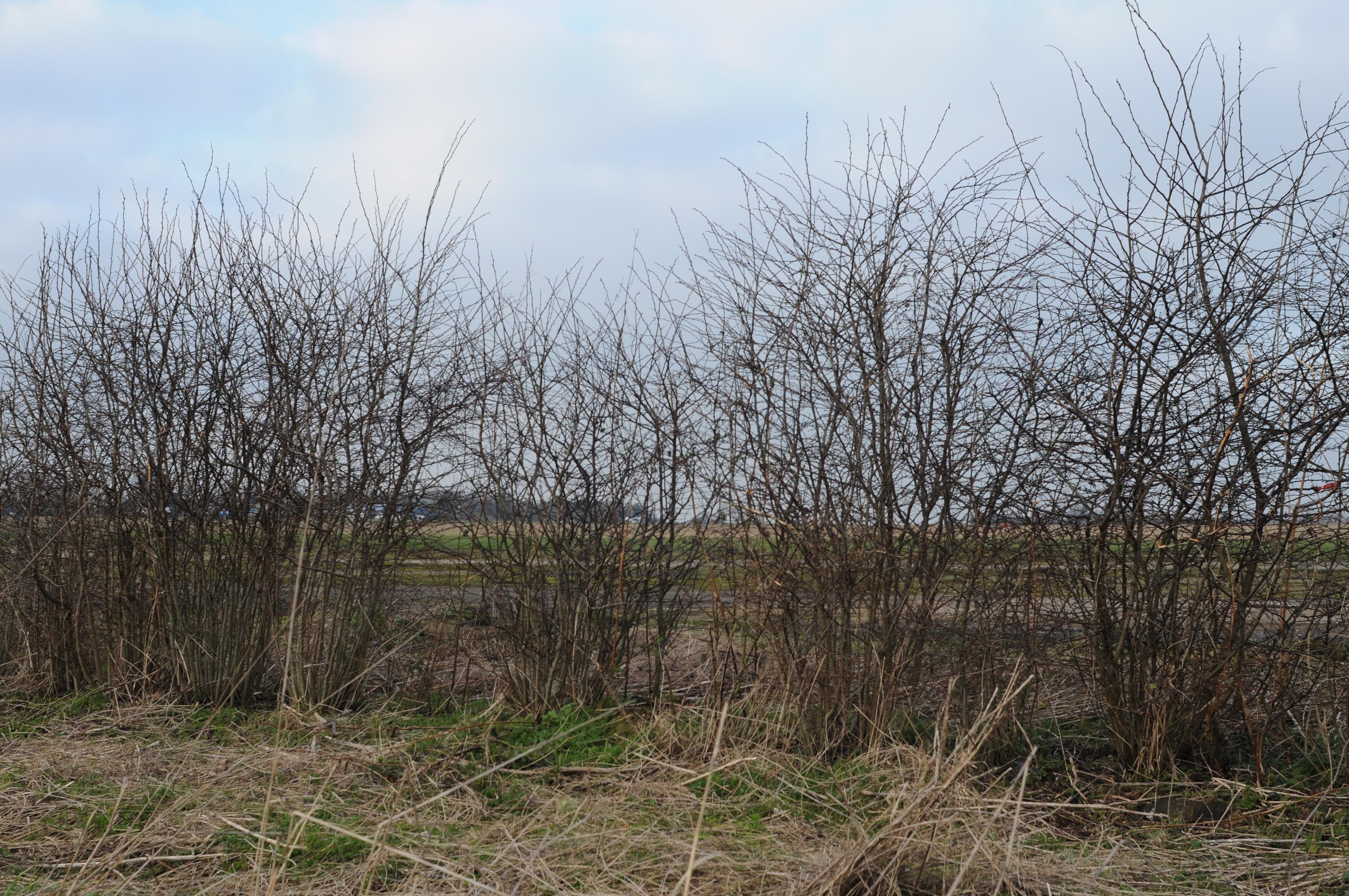
The long term aim of the project is to both determine and further develop the potential of terrestrial laser scanning to quantify ecologically relevant elements of hedgerow structure. Being able to better quantify hedgerow structure and the impacts of management on structural condition is relevant to wildlife conservation within agri-ecosystems. Many hedgerows in the UK are either over managed or neglected, where cutting and rejuvenation techniques need to be used appropriately to achieve good structural condition over time. We anticipate a future role for terrestrial laser scanning in differentiating hedgerow under different management regimes, with differing structural condition and differing value for wildlife.
Lyndsey Graham