As part of my work on the CARIWIG project I have been lucky enough to visit the Caribbean on 4 separate occasions. These, despite the speculations from my colleagues, have been work packed trips with the majority of my time being spent in a windowless heavily air-conditioned room. My latest trip saw myself and Phil James from Geospatial engineering visit Barbados where we took part in the CARIWIG training event (which took place in various windowless rooms).
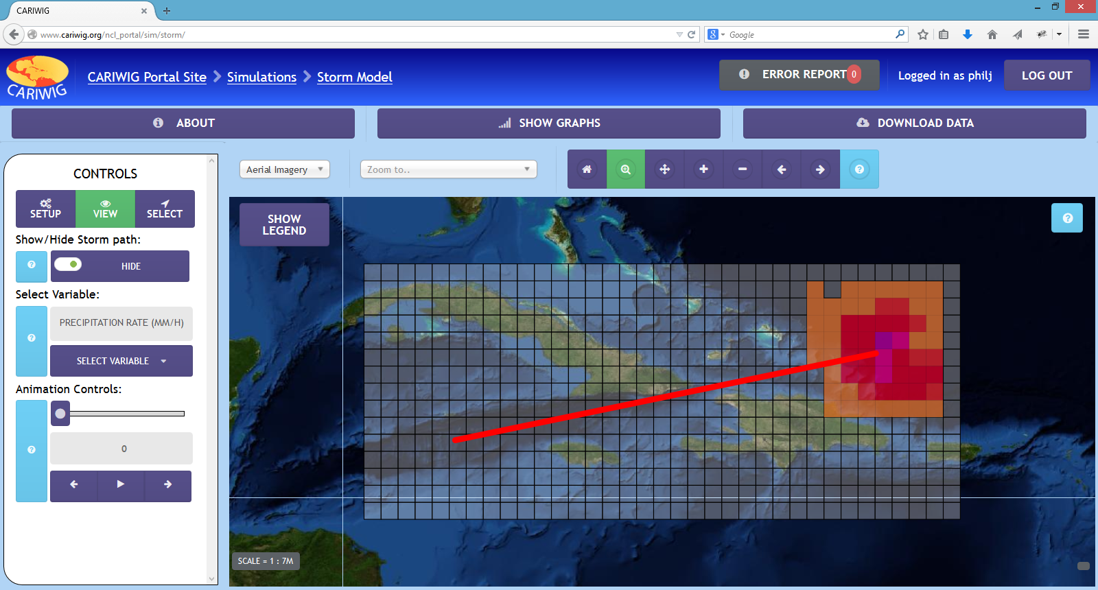
We were there presenting the work that we have done putting together the CARIWIG portal which is a portal designed to let the user visualise, graph and download both historical and simulated future cliamte datasets, as well as allowing the user to run a number of simulations across the region. For slightly more information see here
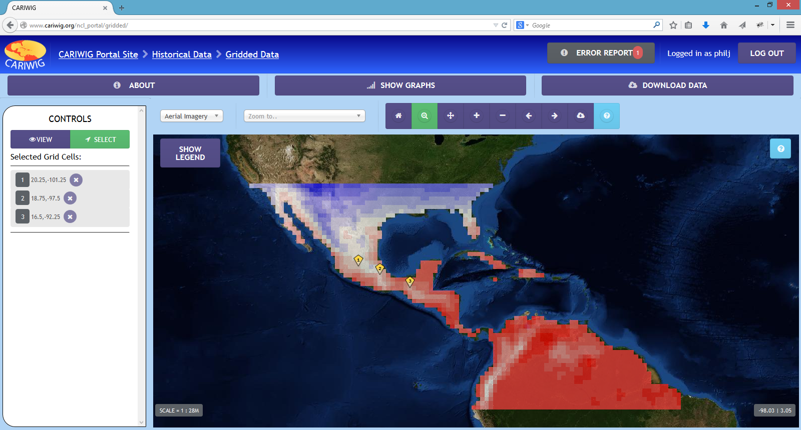
Over the 3 days participants were introduced to the tools put together for the project and how they are run on the portal. They were then given time to use these tools to conduct their own mini case studies, with them then reporting their findings back to the group.
Overall the event was a great success with participants fully engaging with the tools put together and seeing their potential. And from a personal point of view, they liked the interface and found it intuitive. Plus there were 0 internal server errors, even when a entire room of people all ran the tropical storm model at the same time!