
As part of Mustafa Hameed’s PhD research, he spent some time doing fieldwork in communities in his native Iraq. The research is assessing the role of VGI (volunteered geographic information) input in re-building the Iraqi cadastral system after years of chaos. The work done in the town of Al-Hilla (south of Baghdad) during December 2015 and January 2016 concentrated on several aspects: firstly, interviews with land administration professionals yielded an assessment of the current land administration system and opinions regarding the role of VGI; secondly, sample attribute data pertaining to land parcels was collected from professionals, gatekeepers of selected communities, and some owners of parcels in those communities; finally, geometrical data was collected by the owner of parcels who identified their parcel boundaries using three different techniques (GPS app on a smartphone, iPad tablet, and paper-printed satellite image). It was pleasing to see such a large number of local people willing to volunteer their knowledge, time and services to this project.
Fieldwork pictures:
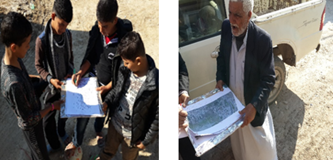
Above: Using printed satellite image to identify parcel boundaries
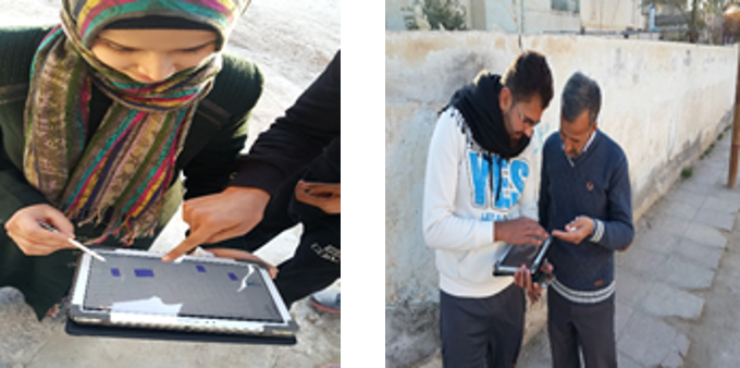
Above: Using an iPad with uploaded and georeferenced cadastral maps to identify and edit parcels
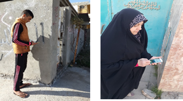
Above: Using smartphones to find GPS coordinates on parcel corners
Incredible post from the fields of Iraq