
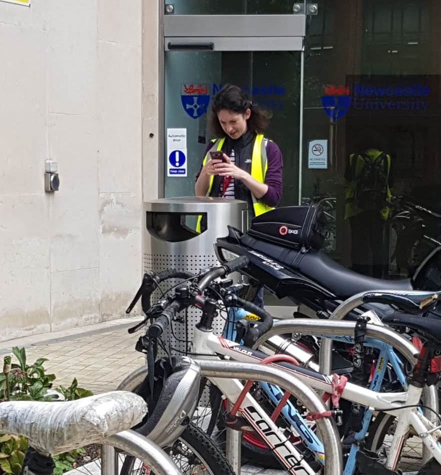
The Mapping the World project last week saw 15 year 10 and 12 students from 4 local schools experience University life as a Geomatics student. Students were introduced to the world of geospatial engineering and learnt about how GIS is used in their everyday life (think snapchat maps), and how to measure height change of land using levelling. The hi-vis jackets (or wally jackets as we like to call them) proved very popular with the flies on Exhibition Park but not so much with the students wearing them!
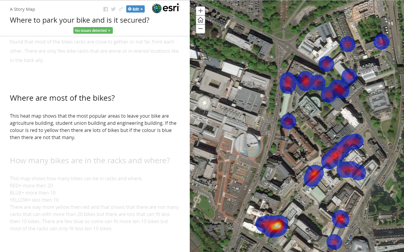
Using ArcGIS Online and the Survey 123 app students investigated how GIS can help with asset management around Newcastle University campus. Students were given free rein on which aspect of campus management they would like to investigate, projects covered everything from where to store your bike, where are the comfiest seat on campus and disability access routes. After exploring the campus whilst mapping, students concluded by presenting their findings using Story Maps to show off all their hard work. It was great being part of the Futureme programme inspiring the next generation to go into higher education.
Pippa