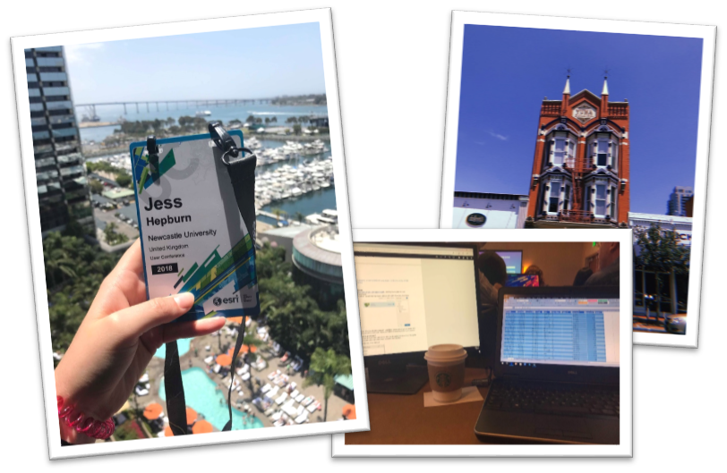
In April, I submitted a Story Map to Esri UK titled ‘Geovisualising Environmental Impact Assessments’; this explored the work I completed in my undergraduate dissertation and how this led on to my current PhD work. When I received the call that I was successful I felt a whole series of different emotions – excited, nervous, motivated, and overwhelmed. But, nevertheless unbelievably eager to be one of the 16,000 attendees at the 2018 Esri User Conference in San Diego. I am going to tell you my top five moments I had whilst attending the UC.
Once I arrived in San Diego and had settled down by gaining my bearings and stocking up on some snacks, the Education Summit began. I collected my badge and started to make my way over to the hotel. The first stand out moment for me were the workshops held at the Education Summit. These either 30 or 60 minute sessions gave me an understanding into areas of the programs that I hadn’t considered. Which included Insights for ArcGIS, transferring data from ArcGIS Pro to Online and creating dashboards using data from Survey123. The information from these sessions was invaluable as it allowed me to fully understand how the Esri platform would be able to help support my current PhD research work as well as engage with stakeholders and the general public. The Education Summit was also a great opportunity to speak to the fellow recipients of the Jack Dangermond Young Scholar Award as well as academics and students from around the world.

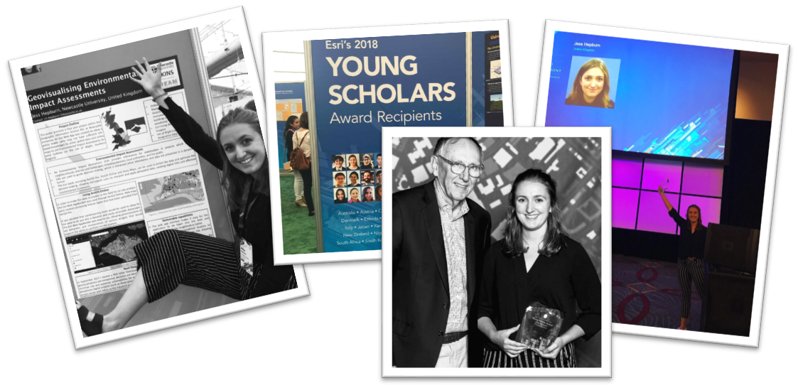
After a busy couple of days at the Education Summit it was then time for the main event… THE ESRI UC, with over 1000 sessions, 450 hours of GIS training & 300 exhibitors! But, before all of that started was my second stand out moment; The Plenary, led by the President of Esri, Jack Dangermond. This was an experience I will never forget, the hall was massive, full of screens covered in maps and GIS-users from across the globe. This session lasted all day and it really captivated me, making me realise how much of an impact my work can have and how applicable GIS is across the world in nearly every discipline. Some of the guest speakers were really inspiring; including Felix Finkbeiner who set up at the age of 9 initiated Plant-For-The-Planet in 2007. His aim is for children to plant 1 billion trees to offset their own carbon emissions. He had harnessed the power of GIS to make an incredible difference, contributing to saving our planet.
The Plenary was followed by the Map Gallery, which was the third stand out moment in my time at the UC. This provided an opportunity for me to show the poster I submitted along side the other Young Scholars, interact with other attendees to discuss my work and look at 100’s of stunning maps submitted to the Map Gallery. This was a fantastic networking opportunity, I spoke to people from all over the world about my work (and gaining some great connections on LinkedIn). As well as chatting about the GIS education I received at Newcastle University and my PhD program through the DREAM CDT.

Throughout the week I attended a vast number of sessions. Using the app, I was able to jam-pack my days from 8:30am – 5:30pm with a variety of sessions, discovering the expo and learning new skills through the digital workshops. This gave me an insight into the abilities on the Esri platforms as well as the capabilities and applications across a number of different sectors from exhibitors from across the globe. My fourth stand out moment was attending the Cartography sessions which reaffirmed my current knowledge and opened my mind up to exploring more of ArcGIS Pro. It introduced me to the MOOCs which are free from Esri to help improve and engage key cartography skills – I’ve signed up for two to complete over this academic year.

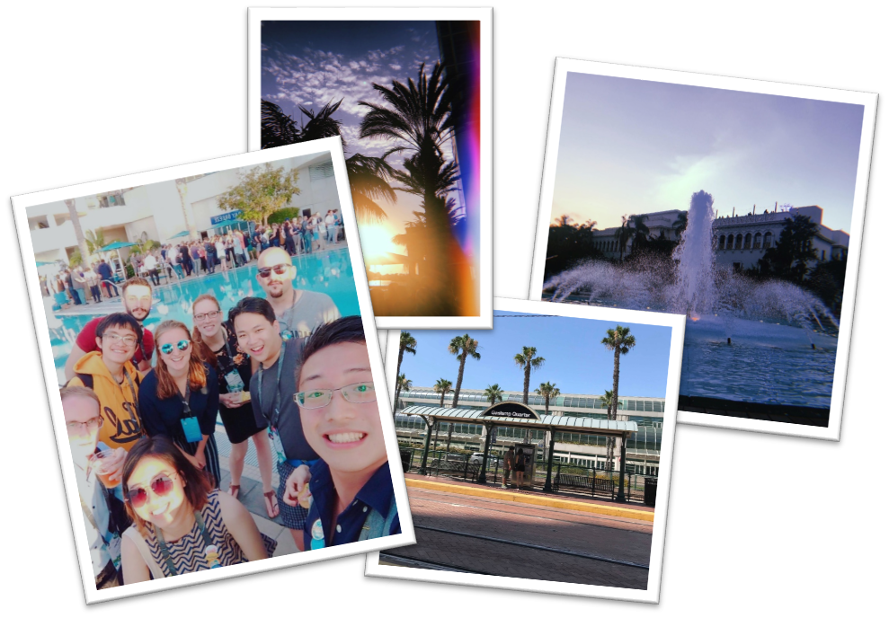
As well as all the fantastic academic and informative opportunities, there were some great social events that were my fifth stand out moment. The Young Professionals Network (YPN) allowed for interaction with young GIS professionals from around the world. It was interesting to meet a wide variety of people in a fun and fresh environment. There was great upbeat music, food and company! On the Thursday night, a party was held at Balboa Park; which was massive. The park contains a variety of museums, all open for free – with music, drinks and food from different areas of the world. It was great to explore with the fellow young scholars, with a good dance at the main stage – ending the week perfectly. Overall, I had a once in a lifetime experience in San Diego at the Esri UC, it opened my eyes to so many new possibilities and demonstrated how highly GIS is regarded across the world. I would like to thank Esri UK for this fantastic opportunity and would recommend anyone to apply!
Link to the Esri Education Newsletter, giving details of next years competition:
Link to the winning StoryMap:
https://ncluni.maps.arcgis.com/apps/MapJournal/index.html?appid=138ac18950bd4c9db3e8501f95701fb9
