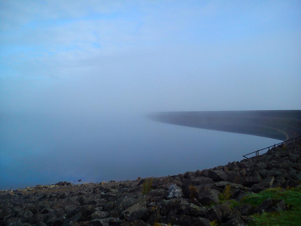
As the leaves darken and the weather worsens, the new academic year starts with a bang as 50 students go off grid in Kielder, Northumberland to develop practical mapping and analysis skills in a realistic setting.
Students from our Geographical Information Science, Surveying and Mapping Science, Physical Geography and Geography programmes spend 9 days collecting and analysing geospatial data using the latest technology. We are based in the Calvert Trust Centre on the shores of Kielder Water surrounded by trees, midges and (well that’s about it…)
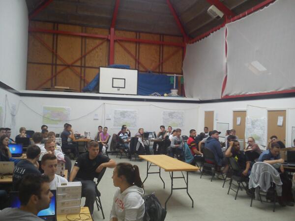
Halfway through the fieldcourse, our students are “in the groove” , occasionally hampered by tricky conditions! Students carry out a mix of detailed topographic survey tasks, DEM creation, Landuse mapping using remote sensed imagery and planning a new residential development site. We are very grateful to the landowners and people of the Kielder valley who make us welcome each year. So far, the torrential downpours of 2012 have been absent and conditions have been more benign, but there is time yet…