
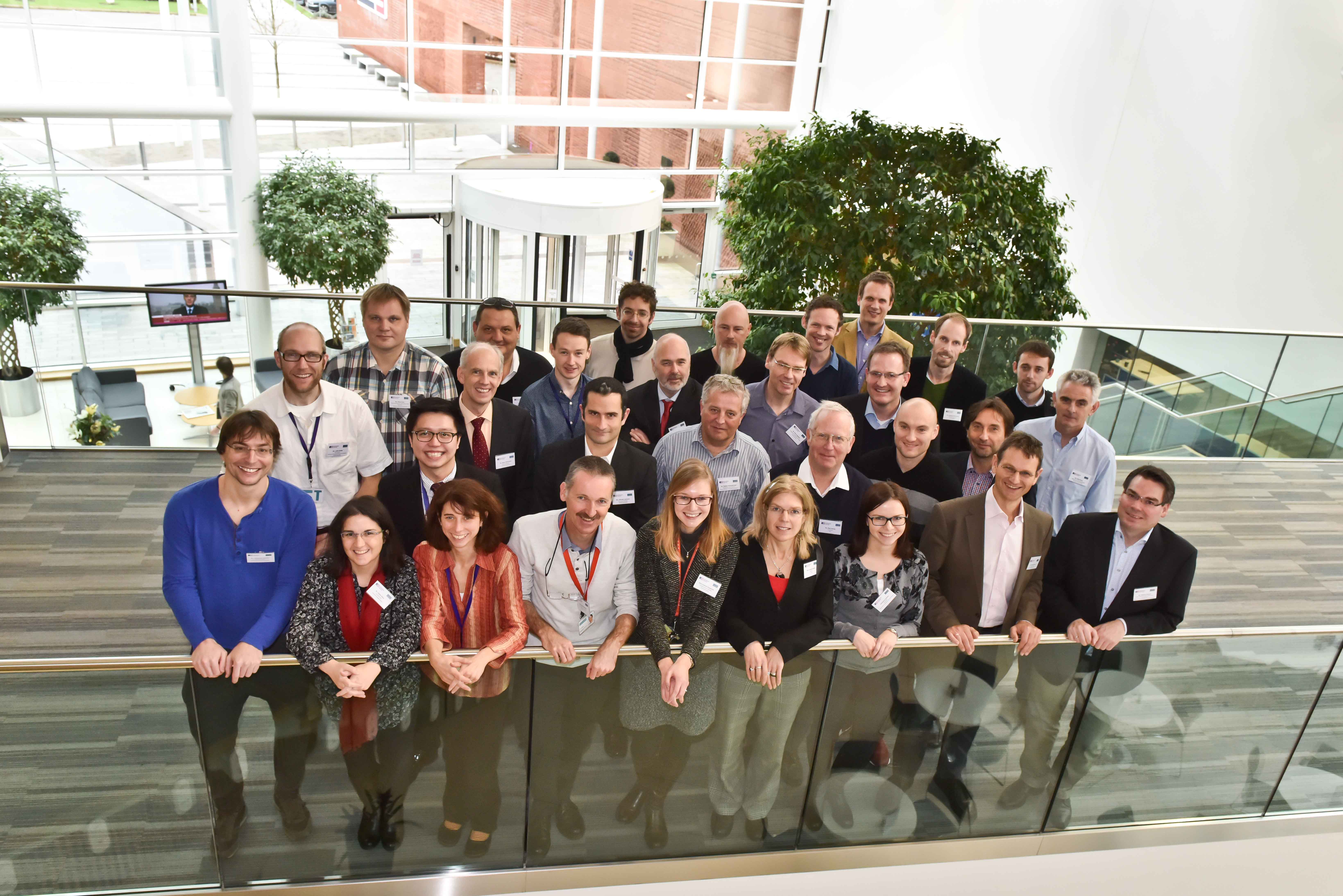
Last Thursday and Friday (27th – 28th November) saw the joint European Spatial Data Research (EuroSDR) and International Society of Photogrammetry and Remote Sensing (ISPRS) ‘Workshop for capturing national scale 3D models’. Hosted at Ordnance Survey, Southampton, the workshop brought national mapping agencies, industry vendors and research scientists together to discuss all things 3D including the storage of 3D data (Hans Veihmann, Oracle) and making building models look more realistic with automatic texturing (Gerald Forkter, UVM Systems Gmbh).
Several presentations were given through the duration of the workshop, including those from the three Ordnance Survey funded PhD students focusing on 3D modelling. Firstly, Jon Slade, Cardiff University, presented methods of adding semantic and geometric information to a 3D model using imagery from repositories such as Flickr. I then presented my research on automatic 3D reconstruction from multi-ray photogrammetry, with the slides available here. Kelvin Wong, University College London, presented some preliminary results of an experiment to determine which parts of buildings people look at whilst navigating to determine what users may require from 3D models.
Examples of where national scale 3D models have been implemented were presented. Sander Oude Elberink, University of Twente, presented a case study of how part of his PhD research is being implemented by the Dutch Kadaster. Building footprints are extruded to a height calculated from lidar point clouds to produce a 3D national dataset. Height are also applied to roads, bridges and water bodies. Similar work is being undertaken by Ordnance Survey, presented by Isabel Sargent, by applying height attributes to OS MasterMap building footprints for the base of the building and various parts of the roof. This is currently available as an alpha release. Other research being undertaken includes automatic classification of roof structures using machine learning and clustering, as well as the research being undertaken by the PhD students listed above.
A series of breakaway groups were formed during the workshop to discuss matters such as the management of 3D data, what 3D editing tools need to be applicable, and the best approach to creating 3D models: whether this be developed from existing 2D datasets or to start data capture and production as a new process. Whilst no formal answers were concluded, these matters are to be further discussed and developed as part of the special interest group (SIG) and presented at the next workshop meeting, to be held in March 2015. One topic is to determine what are the potential economic benefits of national and regional 3D models by answering the following questions;
- What is defined as a regional or national dataset? What is defined as 3D?
- What added value does a national or regional 3D dataset have over local and project-based datasets?
- What are the economic benefits of 3D data, if any, gained from this level of extended coverage?
- What business opportunities can be realised through the application of 3D data at a national level?
- Beyond technical challenges, what are the additional problems that NMAs face at this level of coverage?
This research is being fronted by Kelvin Wong, who requires participants to undertaken a short interview. If you would like to take part in this research please email kelvin.wong.11@ucl.ac.uk.
Thanks go to Rollo Home and Jantien Stoter for the hosting and organisation of the workshop. The points raised in this workshop led to many discussions and opinions, which hopefully may become closer to being solved by the next meeting in March 2015. Information on the SIG can be found at http://www.eurosdr.net/research/project/eurosdr-special-interest-group-3d-3d-sig
Andrew McClune
3rd Year PhD Student