From Monday 30th March till Wednesday 1st April, the department hosted the annual Remote Sensing and Photogrammetric Society (RSPSoc) Wavelength Conference. Since it’s rebranding from the student conference, which was last hosted in Newcastle nine years ago, young professionals are now also welcome to present their research and latest developments in all aspects of remote sensing and photogrammetry. The conference was organised by third year PhD student, Andrew McClune, whose research is focussing on the automatic reconstruction of 3D building models from aerial photography.
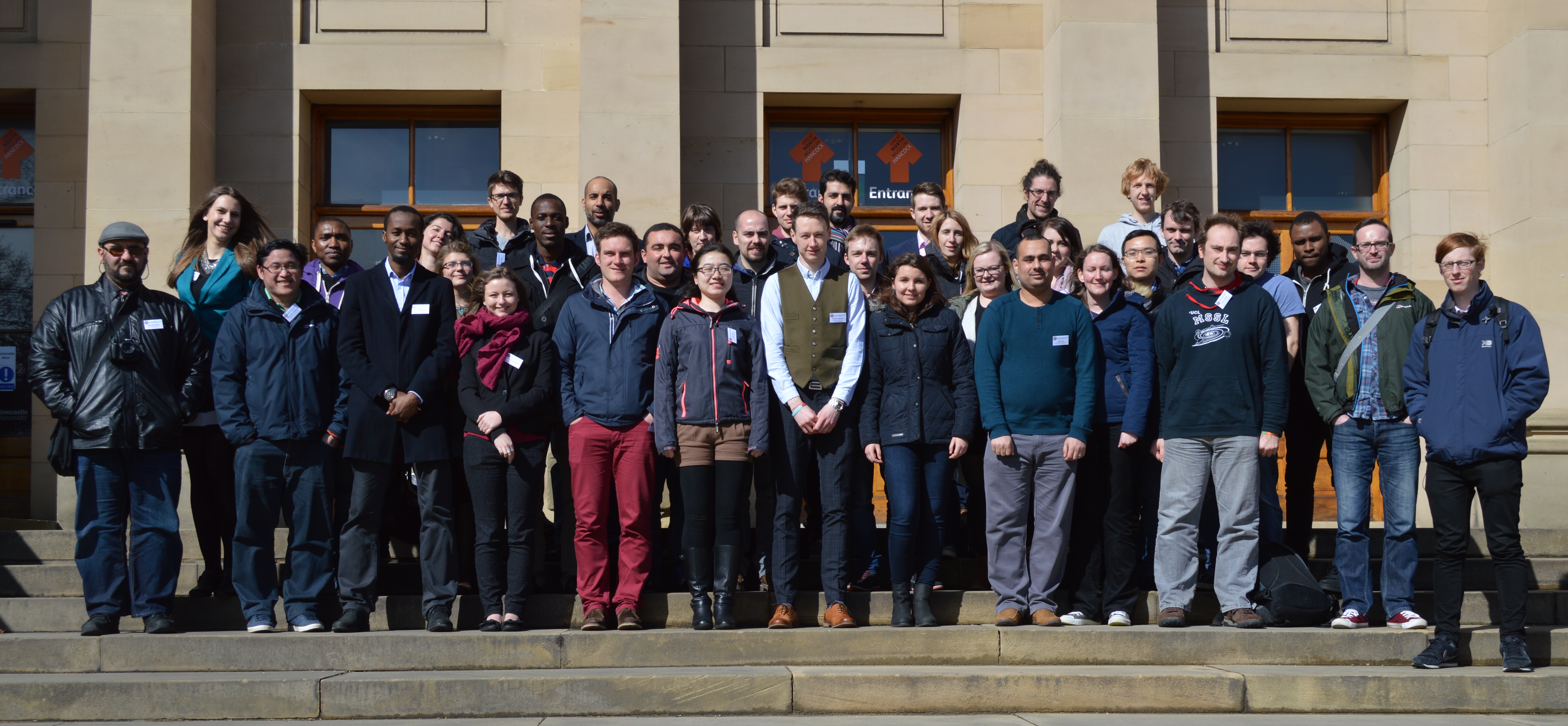
The conference was well attended by approximately 40 delegates, mainly from UK institutes but with some travelling from as far as Nigeria and Turkey especially for the conference. A wide range of research topics were presented. The opening session was dedicated to the research of dust & gas detection from satellite platforms, before second year PhD student Magdalena Smigaj, presented her work entitled ‘’Remote sensing for UK forest health monitoring” in the first of the two vegetation sessions. The final session of the first day was a keynote session given by the International Society of Photogrammetry and Remote Sensing (ISPRS) Council members, who were in the area for an ISPRS Council meeting. Chen Jun opened with an introduction to the society before Christian Heipke, Leibniz Universität Hannover, and Marguerite Madden, University of Georgia, discussed their individual research topics “New approaches for automatic classification or aerial and satellite images” and “Geospatial Information Supporting Animal Movement and Habitat Studies”, respectively. The final day was closed with a meal at Blackfriars Restaurant, where ISPRS Council members and delegates continued to network and discuss research.
The conference prides itself on offering a strong scientific and social programme, with Tuesday morning being designated to the first batch of social activities. Whilst a small group went to battle it out over the annual game of laser quest, a local tour guide led the rest of the delegates around the many scenic delights that Newcastle has to offer. Although the weather did not hold up with a heavy downpour encountered mid-tour, the tour gave an insight into the history development of the city. The tour started along the Quayside visiting the many bridges along the river before working their way back to the University via the castle, Grainger market and Grey’s Monument.
Presentations resumed after lunch with the urban management topic which saw presenters from GetMapping UK present their street level imagery dataset and the online GIS platform for local parish councils, as well as the use of historical imagery for assessing planned urbanization. The second oral session of the day saw the second vegetation session of the conference and included the winner of Best Oral Presentation from Emily Norton, from Bournemouth University for her research entitled “Multi-Temporal remote sensing of mass graves in temperate environments”. She was proudly presented with a remote sensing book, kindly donated from sponsors Taylor & Francis.
A wide range of poster were presented towards the end of the second day with second year PhD Elias Berra discussing “Forest phenology monitoring by unmanned aerial vehicle” and first years Ben Grayson and Fikiri Mhenga presenting their proposed PhDs researching “Digital photogrammetric techniques in aid of UAV trajectory determination” and “Using remotely sensed products for improved hydrological models in high mountain hydrological regimes.” The final session of the second day was a sponsor session, where representative from Sterling Geo presented the latest developments of the ERDAS software suite whilst promoting the CHEST agreement, which entitles universities to purchased licences for the software at a heavily reduced price.
The second day finished with a meal on the Quayside before the second social event of the conference which saw delegates go bowling. For some it was their first time and they either took to bowling like a duck to water or were experiencing some beginners luck.
The final day was opened with a session dedicated to disaster management and prevention, which saw Maria Peppa and Polpreecha Chidburee, both second year Newcastle PhDs presented their individual PhD research topics entitled “Development of a UAV-based landslide monitoring system” and “Development of a low-cost, real-time photogrammetric monitoring system for landslide hazard analysis”. This was followed by a session of data integration before the conference was closed with a keynote address from David Holland, Ordnance Survey, presenting research on the creation of 3D datasets, a topic which he has been supervising Andrew on as part of his PhD.
A big thank you to the staff and PhD students that helped in the organisation and success of the conference, as well as Edward Malina from the Mullard Space Science Laboratory, part of University College London. Edward will now become the Wavelength Rep for RSPSoc and will now start to organise the next Wavelength conference in 2016.