
When I wrote the blog post “Settling a Coffee Break Debate – Football Travel Distance” It was done to do just that, settle a coffee break debate. Getting the Football Supporters’ Federation to share it came as an afterthought. In doing so the true power of the crowd was unleashed and we received several comments from fans pointing out minor errors in the results. Mainly missing railway stations or errors in the location of the football ground. As such I wanted to prove that the Geospatial Engineering group are nothing short of perfectionists and rectify these results.
Firstly I had to retrieve all the locations of railway stations in the UK. I did this by using the OpenStreetMap extended API and download all features in the UK bounding box that contained the tag “railway=station”. This gave me a selection of nodes and polygons. I generated centroids of the polygons and merged them with the nodes. As a few commenters pointed out the last piece of analysis didn’t include tram, light railway and subways. So for completeness I also carried out the same process on features marked “railway=tram_stop” (light rail and subway stations are included in “railway=station”).
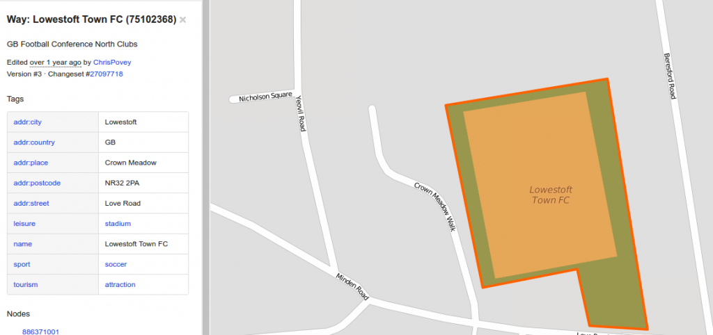
I then had to retrieve the locations of football stadiums. Again I used the OpenStreetMap extended API and downloaded all features that contained both “sport=soccer” & “leisure=stadium” tags. And likewise generated centroid of the polygons and merged with the points. However due to either the stadium not being tagged as such or simply not mapped out yet a few grounds were missing so in these places I have used the previous locations. I also had the problem that the openstreetmap features didn’t contain information on the club and the stadium name were in some cases slightly different to the names I had stored ( e.g. Emirates, and Emirates Stadium) so I had to do some fuzzy text matching to complete this mapping.
Once I had the 2 new datasets it was just a simple case of calculating the nearest station/stop to each stadium and the distance between them. Again I achieved this by loading both datasets into PostgreSQL/PostGIS. Below are the full set of results. With the representing the distance from the centre of station/stop to the centre of the stadium, so not necessarily the distance a fan would walk. Also this does not take into consideration that the station or stop might not be open on match day.
| Club | Ground Name | Railway Station/Tram Stop | Distance (m) |
|---|---|---|---|
| Yeovil Town | Huish Park | Yeovil Pen Mill | 4334 |
| Oxford United | Kassam Stadium | Radley | 4059 |
| Wycombe Wanderers | Adams Park | High Wycombe | 3761 |
| Reading | Madejski Stadium | Reading West | 3634 |
| Shrewsbury Town | New Meadow | Shrewsbury | 2575 |
| Colchester United | Community Stadium | Colchester | 2559 |
| Scunthorpe United | Glanford Park | Althorpe | 2500 |
| Cambridge United | Abbey Stadium | Cambridge | 2296 |
| Preston North End | Deepdale | Preston | 2243 |
| Stoke City | Britannia Stadium | Stoke-on-Trent | 2212 |
| Doncaster Rovers | Keepmoat Stadium | Doncaster | 2159 |
| Burton Albion | Pirelli Stadium | Burton-upon-Trent | 2033 |
| Bristol Rovers | Memorial Stadium | Montpelier | 2029 |
| Swansea City | Liberty Stadium | Swansea | 1978 |
| Port Vale | Vale Park | Longport | 1854 |
| Northampton Town | Sixfields Stadium | Northampton | 1831 |
| Leicester City | King Power Stadium | Leicester | 1755 |
| Chesterfield | Proact Stadium | Chesterfield | 1753 |
| Liverpool | Anfield | Kirkdale | 1753 |
| Rochdale | Spotland | Rochdale Town Centre | 1652 |
| Stevenage | Broadhall Way | Stevenage | 1603 |
| Leeds United | Elland Road | Cottingley | 1510 |
| MK Dons | Stadium:mk | Fenny Stratford | 1507 |
| Crawley Town | Broadfield Stadium | Crawley | 1488 |
| Oldham Athletic | Boundary Park | Westwood | 1430 |
| Accrington Stanley | Crown Ground | Accrington | 1403 |
| Hull City | KC Stadium | Hull Paragon Interchange | 1397 |
| Wigan Athletic | DW Stadium | Wigan Wallgate | 1359 |
| Carlisle United | Brunton Park | Carlisle | 1352 |
| York City | Bootham Crescent | York | 1290 |
| Huddersfield Town | The John Smiths Stadium | Huddersfield | 1263 |
| Plymouth Argyle | Home Park | Plymouth | 1252 |
| Southampton | St Marys Stadium | Woolston Railway Station | 1244 |
| Luton Town | Kenilworth Road | Luton | 1217 |
| Fulham | Craven Cottage | Putney Bridge | 1160 |
| Middlesbrough | Riverside Stadium | Middlesbrough | 1148 |
| Nottingham Forest | City Ground | Nottingham Station | 1147 |
| Bristol City | Ashton Gate | Parson Street | 1135 |
| Bury | Gigg Lane | Bury | 1131 |
| Blackburn Rovers | Ewood Park | Mill Hill | 1123 |
| Burnley | Turf Moor | Burnley Central | 1108 |
| Derby County | Pride Park | Derby | 1051 |
| Everton | Goodison Park | Kirkdale | 1005 |
| Swindon Town | County Ground | Swindon | 994 |
| Morecambe | Globe Arena | Morecambe | 989 |
| Bournemouth | Dean Court | Pokesdown | 966 |
| Bradford City | Valley Parade | Bradford Forster Square | 907 |
| Newport County | Rodney Parade | Newport | 789 |
| Birmingham City | St Andrews | Bordesley | 760 |
| Wolverhampton Wanderers | Molineux | Wolverhampton railway station | 759 |
| Gillingham | Priestfield Stadium | Gillingham | 753 |
| Sheffield United | Bramall Lane | Granville Road / The Sheffield College | 749 |
| Notts County | Meadow Lane | Nottingham Station | 739 |
| Watford | Vicarage Road | Watford High Street | 722 |
| Crystal Palace | Selhurst Park | Selhurst | 707 |
| AFC Wimbledon | Kingsmeadow | Berrylands | 684 |
| Barnsley | Oakwell | Barnsley Interchange | 682 |
| Portsmouth | Fratton Park | Fratton | 663 |
| Southend United | Roots Hall | Prittlewell | 651 |
| Leyton Orient | Brisbane Road | Leyton | 631 |
| Peterborough United | London Road | Peterborough (NVR) | 602 |
| Barnet | The Hive | Canons Park | 593 |
| Dagenham and Redbridge | Victoria Road | Dagenham East | 560 |
| Queens Park Rangers | Loftus Road | Shepherd’s Bush Market | 552 |
| Rotherham United | New York Stadium | Rotherham Central | 551 |
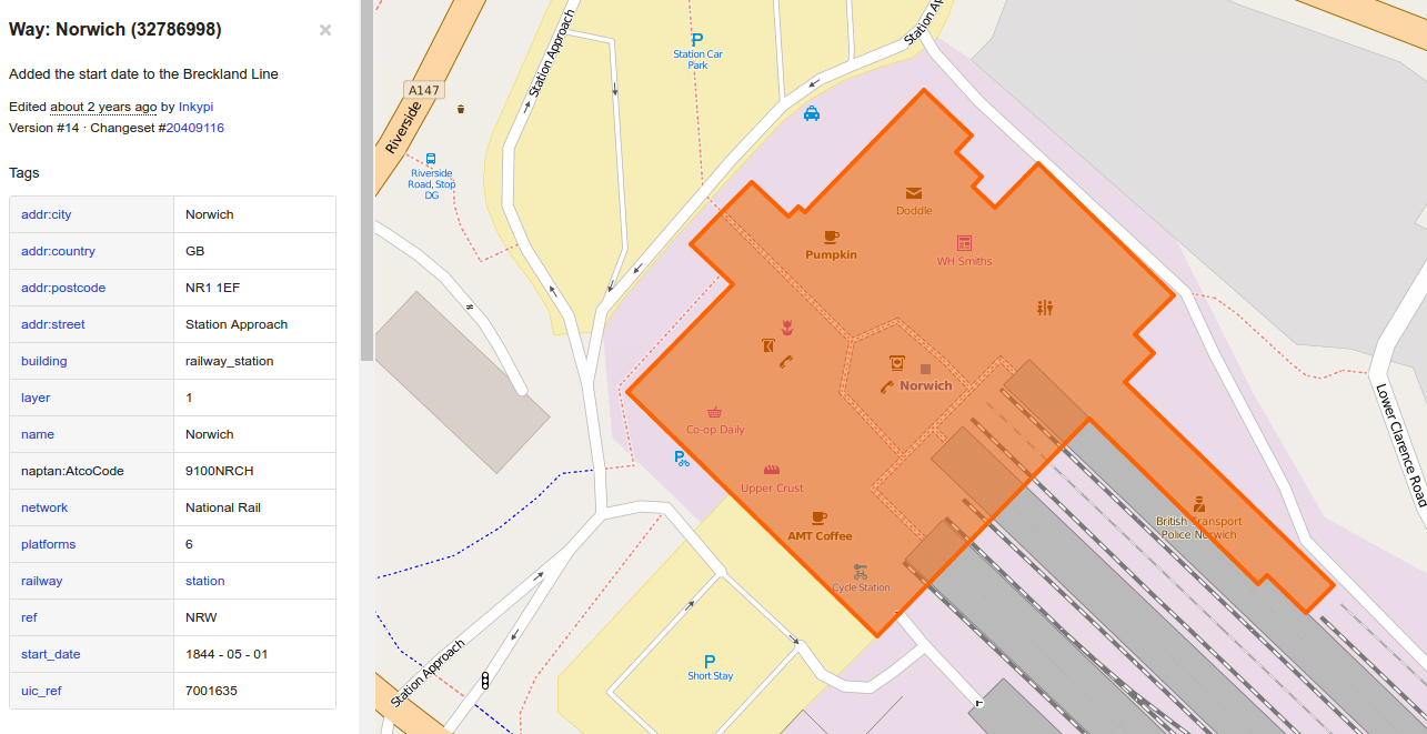
| Norwich City | Carrow Road | Norwich | 543 |
| Blackpool | Bloomfield Road | St Chad’s Road | 531 |
| Brentford | Griffin Park | Brentford | 494 |
| Ipswich Town | Portman Road | Ipswich | 494 |
| West Ham United | Boleyn Ground | Upton Park station | 484 |
| Sunderland | Stadium of Light | St Peter’s | 481 |
| Mansfield Town | Field Mill | Mansfield | 461 |
| Cardiff City | Cardiff City Stadium | Ninian Park | 449 |
| Hartlepool United | Victoria Park | Hartlepool Railway Station | 418 |
| Bolton Wanderers | Reebok Stadium | Horwich Parkway | 398 |
| Tottenham Hotspur | White Hart Lane | White Hart Lane | 392 |
| Charlton Athletic | The Valley | Charlton | 371 |
| West Bromwich Albion | The Hawthorns | The Hawthorns | 368 |
| Millwall | New Den | South Bermondsey | 362 |
| Aston Villa | Villa Park | Witton | 359 |
| Arsenal | Emirates Stadium | Drayton Park | 344 |
| Walsall | Bescot Stadium | Bescot Stadium | 279 |
| Fleetwood Town | Highbury Stadium (Fleetwood) | Stanley Road | 278 |
| Crewe Alexandra | Gresty Road | Crewe | 272 |
| Brighton and Hove Albion | Falmer Stadium | Falmer | 261 |
| Sheffield Wednesday | Hillsborough | Leppings Lane | 258 |
| Manchester City | City of Manchester Stadium | Etihad Campus | 255 |
| Chelsea | Stamford Bridge | Fulham Broadway | 242 |
| Coventry City | Ricoh Arena | Coventry Arena | 185 |
| Newcastle United | St James Park | St James | 160 |
| Manchester United | Old Trafford | Manchester United F.C. Halt | 122 |
| Exeter City | St James Park (Exeter) | St James’ Park | 113 |
Thanks for the update. You are probably regretting ever starting this but as a perfectionist you will want to know that I still spotted a couple of small mistakes. Firstly I don’t know why Create Centre comes up for Bristol City as that’s not a station; the nearest should be Parson Street as shown on your original list. Secondly you have the name for Barnet’s new stadium but still the location of their old ground; the closest station should be Canons Park.
It is a seemingly never ending task :-). Fixed these mistakes, thanks for the help.
Happy to help – after all stations and football grounds are two of my favourite subjects to be nerdy about!
Can’t comment on most, but sheff wed ground is miles away from city centre. I ran a 10k from centre that went to swillsboro and then returned. So by my calves that’s about 5000m. Sheff utd is a stone’s throw
Does alcohol affect the infant while breastfeeding? Yes.
Hi
An absolutely terrific and painstaking undertaking. Good to see Exeter City on top! One little thing. You mention Drayton Park for Arsenal but that station is closed on match days. I know you mention this. Most people use either Arsenal underground or Highbury and Islington.
Thanks for a great read!