Mercator’s atlas – March 2012

Map of Northumberland
Map of Northumberland from Mercator, G. Historia mundi: or, Mercator’s atlas: containing his Cosmographical description of the fabricke and figure of the world: lately rectified in divers places, as also beautified and enlarged with new mappes and tables by the studious industry of Ivdocvs Hondy; Englished by W. S.
(London: Printed by T. Cotes for Michael Sparke and Samuel Cartwright, 1635)
(Post-Incunabula Collection: PI 912 MER Quarto)

Gerardus Mercator was born 500 years ago, on 5th March 1512. He was a Flemish cartographer who made it possible to navigate straight paths across the entire ocean.

Although he came to be known for cartography, Mercator’s main income source was initially in the crafting of mathematical instruments and he would later teach mathematics at the academic college in Duisburg.

While working in Leuven, he struck out as an independent mapmaker, producing maps of Palestine (1537), the world (1538) and Flanders (1540). In 1552 he relocated to Duisburg where he opened a cartography workshop and found employment as the city’s surveyor.

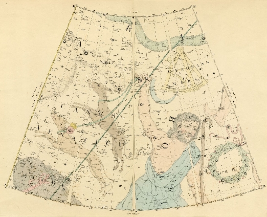
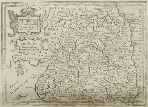
Mercator put his atlas together in the early 1570s when the son of his patron, the crown prince of Cleves, was planning a grand tour of Europe. It was based on his cylindrical projection (a major revolution) and compiled from a collection of wall maps that were available in his workshop, as well as some of his own hand-drawn maps. He copied the maps, then cut and pasted them into the bound format that would come to be known as an atlas.

Page from  Mercator, G. Historia mundi
Page from Mercator, G. Historia mundi: or, Mercator’s atlas: containing his Cosmographical description of the fabricke and figure of the world: lately rectified in divers places, as also beautified and enlarged with new mappes and tables by the studious industry of Ivdocvs Hondy; Englished by W. S.
(London: Printed by T. Cotes for Michael Sparke and Samuel Cartwright, 1635)
(Post-Incunabula Collection, PI 912 MER Quarto)

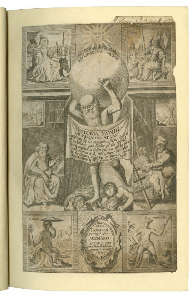
The Philip Robinson Library copy is an ‘Englished’ version of the edition published by Jodocus Hondius (1563-1612). Mercator’s work had become eclipsed by Ortelius’ Theatrum Orbis Terrarum but Hondius purchased the plates for Mercator’s Atlas in 1604 and, in reprinting it with additional maps, re-established Mercator’s reputation. The Mercator/Hondius series would go on to include a second and a pocket edition. This copy also has an illustrated title page from the second edition, printed in London for Micheall [sic] Sparke in 1637 pasted in at the front.

Malby’s Celestial Globe-Atlas – September 2010

Section of map detailing Canis Minor, picturing Orion with his two faithful dogs
Section of map detailing Canis Minor, picturing Orion with his two faithful dogs from Malby’s Telescopic Companion or Celestial Globe-Atlas in XXI sheets by John Addison. Exhibiting the whole of the stars contained in the catalogues of Piazzi, Bradley, Hevelius, Mayer, Lacaille and Johnson. The double stars marked from Herschel and Struve. Corrected from Baily’s edition of Flamsteed’s British Catalogue. With additions carefully collated from the observations of the most esteemed British and Foreign astronomers together with the nebulae observed by W. Herschel and Sir J. Herschel (London, 1843)
(Rare Books, RB Folio 523.89 MAL)

Malby’s Telescopic Companion or Celestial Globe-Atlas was published by the map and globe makers Malby & Co. in January, 1843. This handsome volume, with ornate gilt-decorated cloth binding, contains a set of twenty one striking double-page colour plates depicting the stars and constellations in the sky, as recorded by the many renowned astronomers who had identified and listed the stars throughout history.

The constellations into which the sky of the northern hemisphere has traditionally been divided were originally described by the Ancient Greeks, who likened each constellation to a mythological figure or sign of the zodiac, although the Latin forms of their names, rather than the Greek, have traditionally been used. The plates in Malby’s globe-atlas carry colourful artistic representations of these figures. This plate depicts the constellations Canes Venatici, Bootes and Ursa Major. The Canes Venatici (“hunting dogs”), Asterion and Chara, are held on a leash by Bootes the herdsman as they chase the Great Bear (Ursa Major), whose tail can be seen disappearing off to the left of the picture.

Malby’s globe-atlas actually served a dual purpose, as the atlas could either be used in its original form as a book or the sheets could be cut out and joined together according to the instructions provided to create a three-dimensional globe. The firm Malby & Co., established by Thomas Malby in c. 1839, was known for producing maps and globes of varying types and sizes, including table and pocket globes, and associated itself with the geographical publishing of the Society for the Diffusion of Useful Knowledge (SDUK).

The volume is apparently exceedingly rare; the British Library lists only a copy of the 1845 edition in its holdings and no other copies of this particular edition, which appears to be the first, are listed anywhere else.

Adding to its interest, the volume carries the bookplate of Hugh Lee Pattinson, the eminent metallurgical chemist and industrialist from the North-East of England who discovered the process of separating silver from lead, later known as the Pattinson Process. He was also the great grandfather of Gertrude Bell. The Latin motto on his coat of arms reads Ex Vile Pretiosa which means “Valuable things from base things”, an allusion to his momentous discovery.