Alpine Training

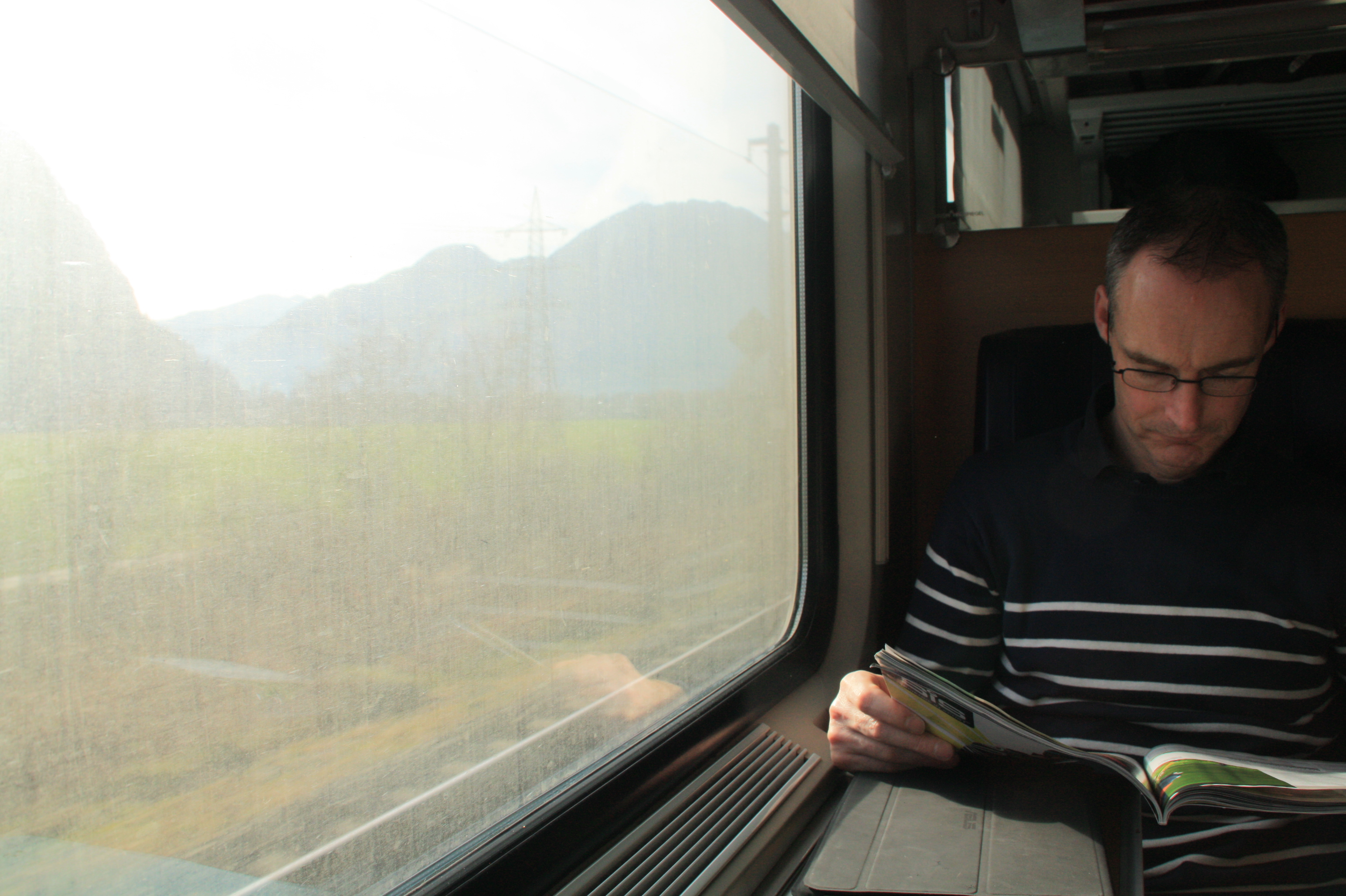
At the end of 2012 Dr Stuart Barr and Alistair Ford from the Geospatial Engineering group paid a visit to the University of Innsbruck for a week of discussions, demonstrations and workshops with the ‘Umwelttechnik‘, or the Unit of Environmental Engineering. The group of Professor Wolfgang Rauch specialises in urban water management through novel modelling approaches which link traditional hydraulic modelling with cutting-edge urban, infrastructure and agent-based models. Since the Geospatial Engineering group is interested in environmental sustainability and climate change, the entire journey from Newcastle to Innsbruck was undertaken by train!

Catching up on some reading...

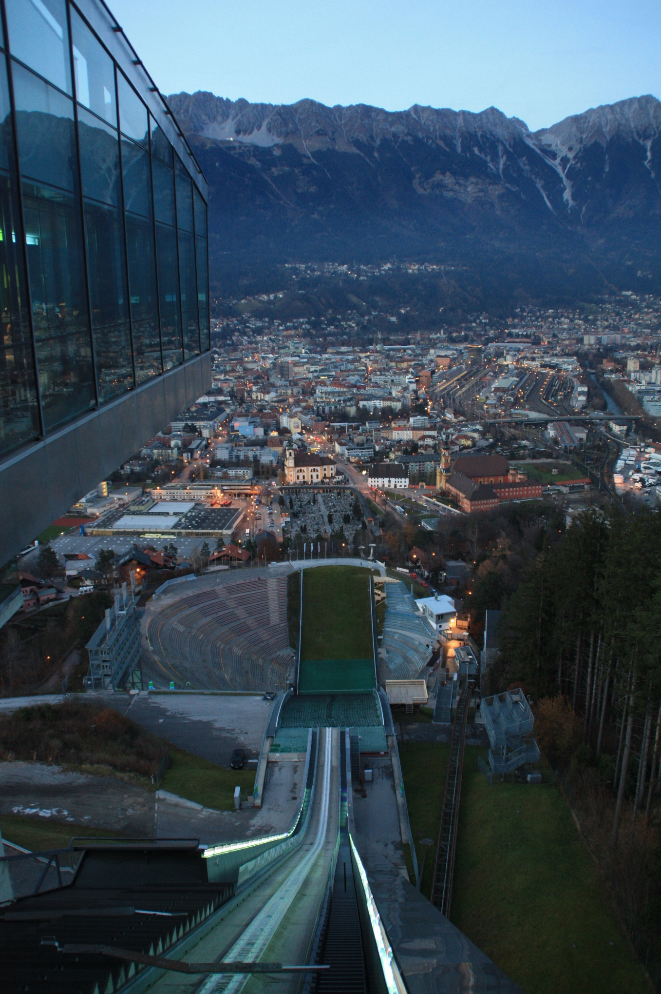
During the week, the researchers from Innsbruck demonstrated their innovative models of water infrastructure development. These link physical simulations of water supply and sewerage systems with future projections of urban growth, allowing assessments of network performance under climate and socio-economic change. Also demonstrated was the ‘ACHILLES‘ approach (link in German) to network failure assessment, ranking each component according to the impact its failure may have on the whole network. The group are based in the Faculty of  Civil Engineering, based on the new technical campus of Innsbruck University. The view from their offices is quite impressive…

A meeting room with a view!

The work of the Newcastle Geospatial Engineering group was also presented to demonstrate alternative techniques for urban development modelling being developed here. Fruitful discussions followed, leading to possible collaboration and crossover activities. The opportunity was also taken to learn about new computing and processing techniques being developed in the Innsbruck group (using GPU processing for hydraulic simulations) and to discuss contrasting open source modelling frameworks being developed by both groups.

After five days of excellent discussions and collaboration, the Newcastle delegation took some time on the Saturday to see the other sights that Innsbruck had to offer before catching the sleeper train back home.

Dr Barr scales the peak (this time on the cable car instead of on foot!)

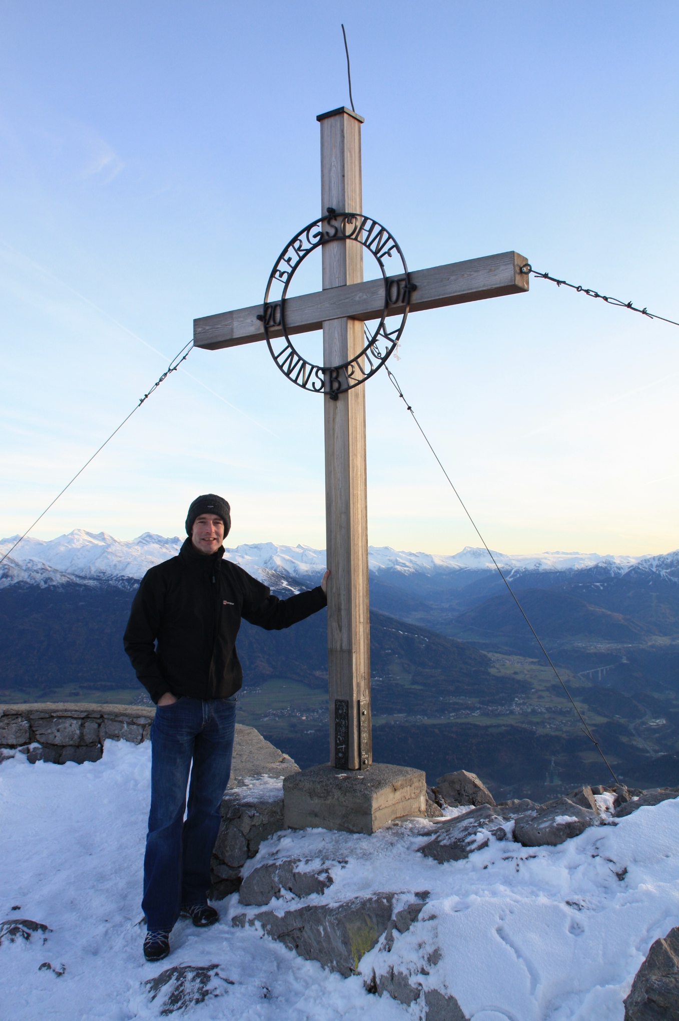
Unfortunately the snow wasn’t quite deep enough for any alpine sports, although I wouldn’t want to try this one anyway:

The view down the Bergisel ski jump, used in the 1976 Winter Olympics. Scary...

Thanks to Wolfgang and his group at Innsbruck for being such excellent hosts, and look out for news of future collaborations between the two groups.

The End

Ali

Newcastle Geospatial Engineering part of the OSGEO labs for Research and Education

Press release:

We are pleased to announce the establishment of Open Source Geospatial Research and Education Laboratory at the University of Newcastle, United Kingdom. The laboratory is one of the members of a worldwide network developed under the auspices of the ICA-OSGeo Memorandum of Understanding (MoU).

In 2011, the International Cartographic Association (ICA) signed a Memorandum of Understanding (MoU) with the Open Source Geospatial Foundation (OSGeo) with a view to develop global collaboration opportunities for academia, industry and government organisations in the field of open source GIS software and data. The MoU aims to provide expertise and support for the establishment of Open Source Geospatial Laboratories and Research Centres across the world to support the development of open source geospatial software technologies, training and expertise.

Newcastle University  is one of the leading geospatial research group in the UK and have very strong research and teaching expertise and well developed CPD programs etc.  The Open Source Geospatial Research and Education Laboratory  is run by the Geospatial Engineering Research Group but draws heavily on interactions with other research groups and partners within the University, nationally and internationally. The Geospatial Engineering Group supports the development and training of Open Source Geospatial technologies by utilising these technologies to carry out fundamental research and to deliver geospatial solutions to engineering problems.   They also provide training both as part of thier Undergraduate degree programmes in Surveying and Mapping Science, Geographic Information Science and Physical Geography as well as through short training courses.

Open Source Geospatial Research and Education  Lab at Newcastle University is led by Dr Philip James. Key members of the lab are Dr Stuart Barr,Dr David Fairbairn,Dr Rachel Gaulton,David Alderson,Alistair Ford ,Dr Pauline Miller and Neil Harris.

The website of the new lab is at http://research.ncl.ac.uk/osgeolab/

Over the last 6 months,  we have a rapidly expanding network of Open Geospatial Labs and we are now in the process of setting up Open Geospatial Lab Network node site within OSGeo website  so that all participating labs urls can be added to this.

We are actively working in expanding this ICA-OSGeo initiative (http://www.osgeo.org/node/1230) globally in our aim to bring the benefits of geospatial technology to all.

We especially welcome applications from universities, educational institutes, government organisations in developing countries to develop capacity building in geospatial education by establishing Open Source Geo Labs. Details of how to apply for OSGeo Lab is at http://wiki.osgeo.org/wiki/Edu_current_initiatives

We wish you all the best for the Holiday Season and the New Year.

Best Wishes,

Dr Suchith Anand

Nottingham Geospatial Institute
Nottingham Geospatial Building

University of Nottingham NG7 2 TU
Tel: (0)115 82 32750

New team members

We welcome a few new members to the Geospatial Engineering group at Newcastle at the start of this new academic year. There are two more students starting their PhD’s with us and a new member of staff. More details on their roles and research interests will published as they settle into life in the department.