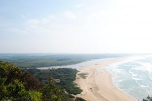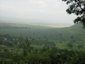

We are working on novel methods (e.g. engineering-derived algorithms for image analyses) to quantify habitat fragmentation effects on biodiversity and ecosystem functions at landscape scales. We are developing new metrics (Edge Sensitivity, Fragmentation Impact) to measure species responses to fragmentation. We are developing up-scaling algorithms to link ecosystem functional attributes (biophysical structure: canopy leaf area index, fraction of absorbed photo-synthetically active radiation, fractional vegetation cover, stress, biomass) to satellite sensor data. And we are exploiting advances in image analysis, mapping ecosystem functions and fragmentation research to map biodiversity response (species abundance, species richness) from satellite sensor data.
Active projects: (1) The Global LAI Project. Link. (2) The Global BIOFRAG project. Link. (3) Validating earth observation products. Link.
