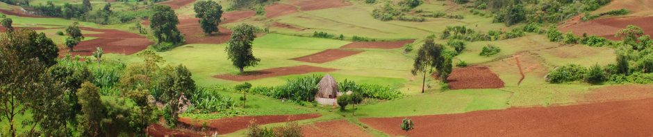
The main goal of this pilot project is to map, understand, and predict changes in forest and crop quality along climate & disturbance gradients using a range of different sensors to measure in the field and from above vegetation canopies. We will test different methodological approaches on a landscape in Mozambique.
We define quality of forest and crops through measures of vegetation canopy stress and canopy structure, the latter regulating essential ecosystem functions (i.e. microclimate, productivity). This research is a step towards understanding crop quality & productivity in the context of a forest-agricultural landscape in the tropics. Ultimately, we aim to be able to predict the capacity of natural tree cover (e.g. forest patches, tree lines) to act as a key element of ecosystem-based adaptation strategies that buffer agricultural community livelihoods & food security from environmental shocks.
Time scale: April 2017 – March 2018 (extended to June 2018)
Funded through: Royal Society Research Grant (11,804.76 GBP)
Team: PI – Dr Marion Pfeifer
Key outputs: Fieldwork commenced in April/May 2018. I worked with M.A.P. Scientific Services to implement the fieldwork. https://www.mapss.co.za/
(1) The fieldwork was used to test and equipment and develop a sampling design and protocol for data processing and analyses: R code stored.
(2) Key results have been published in peer reviewed PeerJ Open Access journal:
Pfeifer et al. 2019 Forest floor temperature and greenness link significantly to canopy attributes in South Africa’s fragmented coastal forests. PeerJ https://peerj.com/articles/6190/
(3) Main data and R code used to generate the figures in the manuscript are published alongside the journal and stored in open-access: https://figshare.com/articles/Dataset_PeerJ_Canopy_Temperature_NDVI_2018/7011692/3
Key research area: ecosystem functions and services in human-modified tropical landscapes