What comes into your head, when someone says ‘maps’? I think we often presume that if we aren’t studying geography, earth sciences, archaeology or architecture for instance then they aren’t for us. But think again! Maps can be applied to a variety of different ways in research and we have put together a Maps topic guide to explain what resources we have and potentially how they can be used.
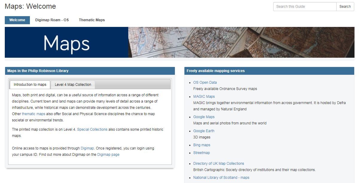
The Maps guide outlines the different ways you can access both physical and online maps and gives you an overview of how you can use our online Digimap ROAM subscription. With this tool, you can not only get up to date OS Maps, but also historic maps which can help track both infrastructure development, as well as social and environmental changes too. And if you want to directly compare different aged maps against each other, Digimap lets you toggle between the two on your screen.
Thematic maps and a database of case studies to see how Digimaps have been applied to research can also be found on the Maps guide. Here is just a taster to whet your appetite:
- Mapping the victims of Jack the Ripper using Historic Roam
- Conducting a national fox survey using Environment Roam
- Studying garden history and landscape in the 18th Century
- Designing housing in Byker for an Artists in Residence project.
So…..before you rule out maps as not relevant for your research, why not take a minute and have a look at our Maps guide to see if there is potentially something for you!
N.B. If you’re wanting to be the next Sherlock, just remember you need to plan your investigations in advance and register with Digimap at least 24 hours before you need to start using the resource.