
Adding to our existing EDINA collection, we now have access to both Global and Society Digimap.
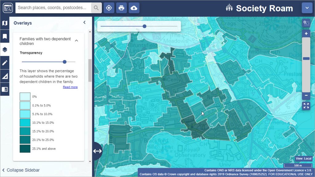
Society includes census and socio-economic data which can be layered across the map software to provide a picture and give an insight of society in a given area. For more information about how to use the Society data, watch this video from EDINA.
Whilst Global provides access to global datasets in cartographic styles and downloadable formats. It allows you to browse, annotate and print global maps and access to downloadable global datasets for use in GIS software.
To access these resources, click on the link to the Digimap collection via Library Search or our Maps Resources guide, log in with your university account and click on the Society or Global tab to access the data. You will need to accept the license agreement the first time you use it.
Please explore and email us if you have any questions, or post it as a comment on this blog. For other map resources, check out our Maps Resources guide.