
So when does an Animal Science student need to use EDINA Digimap and GIS software? The answer is not all do, but you never know where your dissertation project may take you, and what software may help your research or your presentation or visualisation of results.
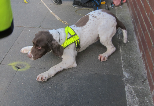
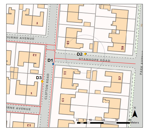
Grace’s dissertation took her to Sunderland to road test the country’s first gas sniffer dog. Collaborating with an Earth Science student to help her use the mapping products and with training from the geosciences team in using GNSS (Global Navigation Satellite System) accurate to 2cm, she plotted the gas leaks and successful finds by her faithful four legged co-worker. The team demonstrated that a dog’s nose is as good conventional gas detection equipment, and could be very helpful with difficult to trace gas leaks.
With many thanks to Dr Catherine Douglas, School of Natural and Environmental Sciences, for providing this content.
See what is available to you on the Maps Guide and take up opportunities to collaborate or share good practice with other disciplines. You never know where it might lead!
Please note: EDINA Digimap requires registration before use.