Tag Archives: field trip

A Week in the Life of a Marine Biology Student… in the Field!

First-year Marine Zoology student, Demi, tells us about her experience of a spending a week at our Dove Marine Lab in Cullercoats and in the surrounding coastal area.

Monday

To start off the week we boarded the coach to the Dove marine lab; the university’s specialised research facility right on the beach. In our morning activity we learnt about the different types of keys that can be used to identify marine organisms, which is very important so that when you find animals out on the shore you can tell what they are. We then split into groups and tried making our own keys to identify people in our groups; this was a great activity as it allowed us the get to know our course mates better.

The afternoon was spend looking through seaweed samples and identifying all the little organisms living within the seaweed. I really enjoyed this as it highlighted that all the little and “less exciting” animals can be just as fun to look into as learning about the larger animals!

The view from the classroom in the Dove Marine lab

Tuesday

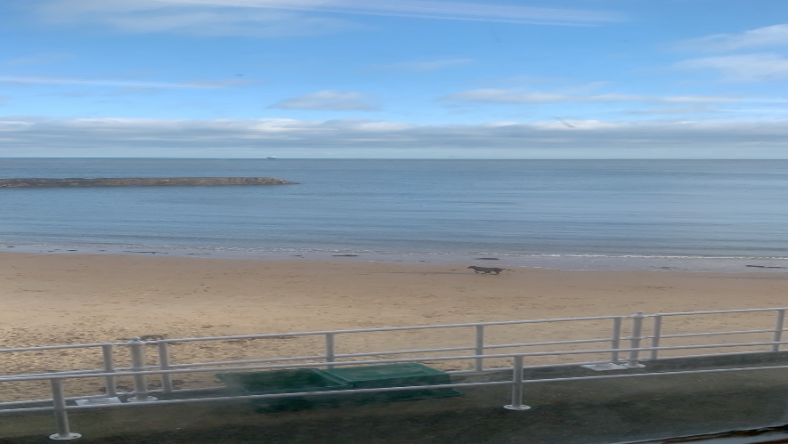
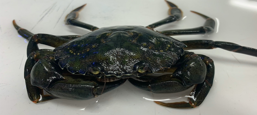
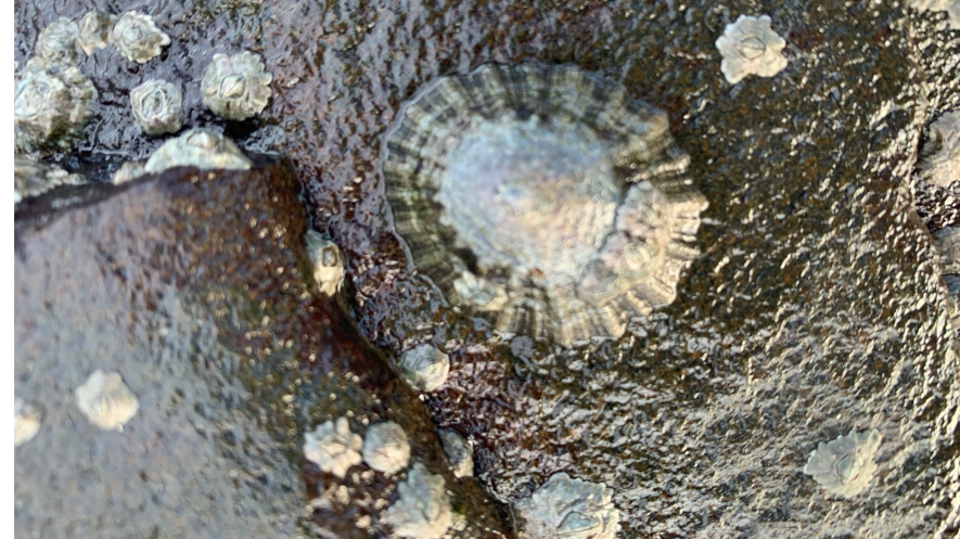
Back at the Dove Marine lab, Tuesday morning was spent out on the rocky shore of North Cullercoats Bay (battling the northern wind and rain), collecting all the organisms we could find (essentially rock-pooling). We found everything from crabs and fish to starfish, snails and limpets. In the afternoon we did scientific drawings of the organisms we found. For this we used the keys we learnt about the day before to identify the scientific names for all of the animals. My favourite was the bloody henry starfish (Henricia sanguinolenta)

One of the crab species we found on the shore; Carcinus maenas

Wednesday

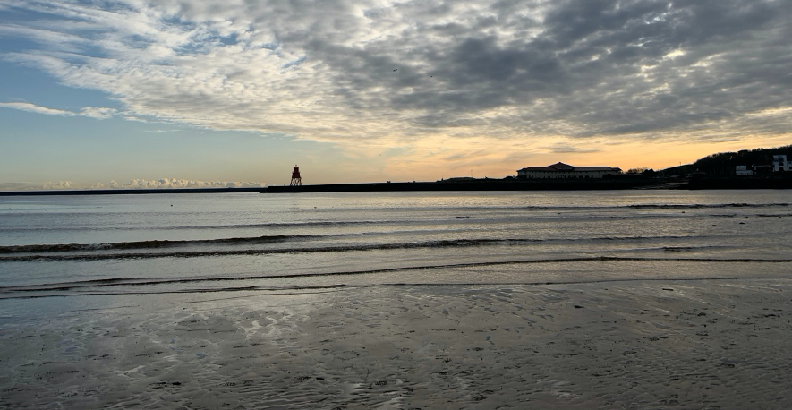
On Wednesday morning we went to Black Middens, at the mouth of the River Tyne. Here, we had the chance to look at different sediment types in an estuarine environment and how this influences the organisms found there. It was such a beautiful place! We did field sketches, which is an important skill for ecologists and looked at the human impacts on the site. In the afternoon we visited the commercial fish quay at North Shields to look at the fishing boats and the types of fish caught in the North Sea. We also met the Quay Master who spoke to us about management mechanisms and fishing quotas, which was very interesting!

Black Middens

Thursday

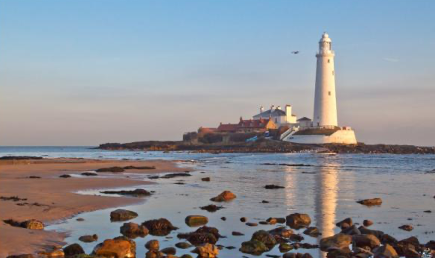
Thursday was spent at St. Mary’s Island; a small island near Whitley Bay where we experienced a different type of rocky shore to the one at Cullercoats. We were introduced to the key identifying features of common rocky shore plants and animals and how they’re adapted to their place on the shore. We also had time to get all our notes and field sketches up to date before heading back to campus.

St Mary’s Island

Friday

To end the week, we were back on the rocky shore at Cullercoats assessing the abundance of 3 common rocky shore animal species: the limpet, Patella vulgata; the dogwhelk Nucella lapillus; and the barnacle Semibalanus balanoides. In the morning we were out with quadrats collecting data, in the afternoon we were back in the classroom at the Dove Marine Lab where we learnt how to do basic statistics on our data in order to analyse their distribution patterns.  

The common limpet; Patella vulgata

   If you would like to learn more about studying Marine Zoology, click here to visit the course page or click here to chat to current student.

Eight Days at Seathwaite Valley

A vital part of many of our courses at Newcastle University is practical work; giving student’s the opportunity to apply their theoretical knowledge is essential in helping them to progress. Today, Geomatics student, Sheoma Richards, tells us about her experience of a field trip to Seathwaite Valley.

Every year first year students on the Geomatics courses embark on an eight-day field course to Seathwaite Valley in the Lake District. The purpose of this trip is to allow students to practice the stills learnt in a lecture room to accomplish real world tasks. The overall aim was to produce a detailed topographic and contour map of a given area by triangulation, levelling, traversing and detailing.

Day 1

We arrived to Glaramara House which was our base where we would process our data, have meals and spend the night. GIS (Geographical Information Systems) students set out to create a sampling regime to capture soil moisture values and analyze these values based on a quantitative and qualitative hypothesis against soil moisture. SMS (Surveying and Mapping Science) students practiced setting up a total station, taking angle measurements and completed a two-peg test. We all had an evening lecture and then savored one of the many astounding three-course dinners provided by the hotel.

Day 2

GIS students collected their points and returned to the hotel to upload and process them for analysis. SMS students occupied a specific control station and sited to other visible stations within the triangulation network. They also drew a witness diagram for the station that they occupied and created abstract sheets for horizontal and vertical angles.

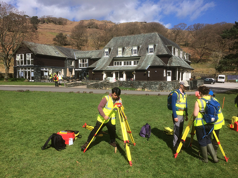
Dr. David Fairbairn using a Leica Zenos.

Day 3

GIS students presented their findings and proceeded to Seathwaite Valley to measure 12 rounds of observations for horizontal angles. SMS students did levelling at the valley to confirm that the values from OSBM remained unchanged over the years. In the evening, all Geomatics students were now joined and divided into four groups to establish a control network scheme. The Lake District showed us its true potential as we were showered with rain for that entire day.

Day 4

To my surprise, we were greeted by a bright yellow object in the sky that we definitely did not expect to see. A set-up challenge was performed to determine the location that each group would have to survey. Group two celebrated as they proved to be victorious on this challenge and were able to get the first choice. After the challenge was over, each group went to their respective sites with ranging rods to complete reconnaissance. We headed back to the center for lunch and later returned to the valley to start traversing. We placed pegs into the ground to create the control stations and drew witness diagrams to be able to locate them for future reference.

Nominated member of each group performing the set-up challenge.

Day 5

At first, we were very worried that we would not be able to do any traversing as there was thick fog everywhere! However, a few minutes after arriving to the valley, the fog suddenly vanished, making way for the sun. We continued our traverse observations and computed our traverse for horizontal and vertical misclosures. Levelling was also completed to known benchmarks to make sure that our vertical values of two stations matched those of the OSBM.

Day 6

Despite the soggy weather, more levelling was done, and groups began to detail points of their site to be able to map the area. These detail points were entered into a spreadsheet to generate the coordinates of each point for plotting. We also created 2D and 3D excel spreadsheets of our traverse observations.

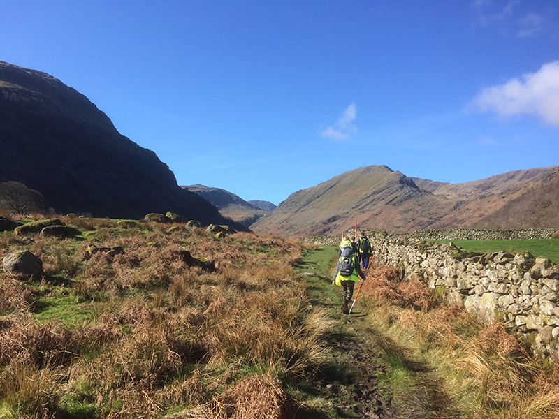
Levelling through the rainy weather.

Day 7

Groups continued to detail while some members remained at the hotel to start the process of plotting. Later that evening, we were visited by two representatives from Leica Geosystems who demonstrated some of their software and equipment to us. One of the representatives was a past student of Newcastle University and also educated us on life beyond Geomatics.

Day 8

There was a set-up competition between the representatives from Leica Geosystems and two staff members. The winner was Dr. Mills who currently holds the record for the fastest set-up time! We proceeded with our plotting while some members got additional information for detailing. Once the plotting was completed, it was impressive to see the finished product of a topographic and contour map of Seathwaite Valley for each site. As a feeling of contentment came over us, reality struck when we realized that this meant we would be leaving tomorrow morning.

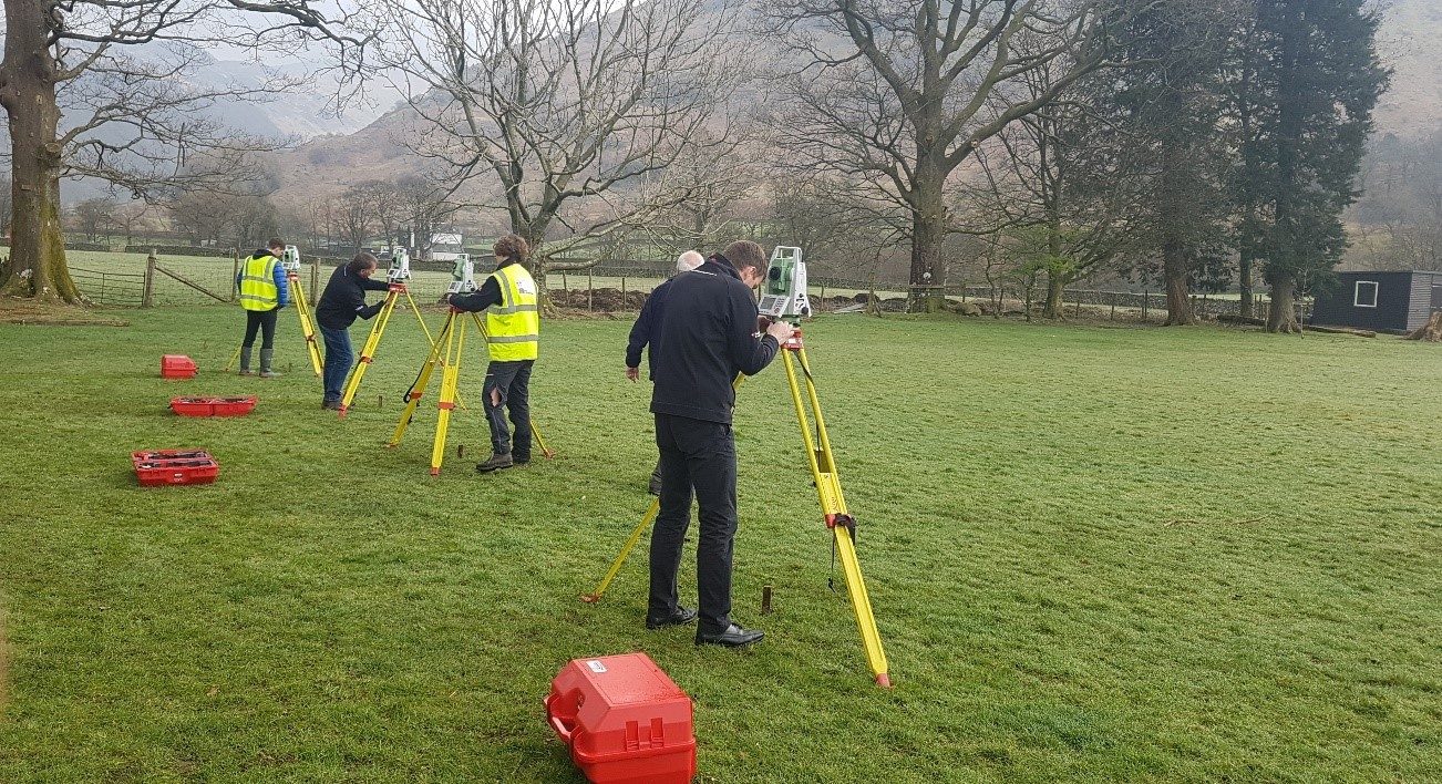
Representatives from Leica Geosystems competing against two staff members for set-up competition.

Although it was eight days filled with work, it was one of the most enjoyable things that I have done on the course thus far. I would advise prospective students to make the most of this field course and appreciate the method of processing by hand. Only when you understand what is done by the instrument and software, would you truly understand what you are doing. If you are looking for a degree course that not only teaches you what you need to know but also challenges you to think outside the box, Newcastle University’s Geomatics courses are for you!

Find out more about Newcastle University’s Geomatics courses here.

Measuring the Lake District

Every year our first year Surveying and Mapping  Sciences and GIS students take part in an eight day field trip to the Seathwaite Valley in the heart of the Lake District. In this blog post Tim Hajda tells us about his experience of it last Easter.

We arrived at Glaramara House, our hotel which served as a base for the fieldcourse, on Thursday morning after a scenic two-and-a-half hour coach ride from Newcastle.  The setting was stunning: a pastoral valley of green fields, dry stone walls and streams, surrounded by craggy fells, waterfalls and oak forests.  Our mission was to create a detailed map of the valley, so our first task was to lay the foundations by creating a network of known reference points.

Newcastle University surveying students setting up targets
Practicing setting up targets in front of the Glaramara House, our base for the fieldcourse

Shortly after arriving we donned our high-vis and waterproofs to brush up on the surveying skills we’d be using over the next eight days.  The valley is famous for being the wettest inhabited place in England, and it definitely lived up to its reputation.  After a soggy afternoon of measuring angles and levelling, we dried off and enjoyed what would be the first of many delicious dinners.

On Friday morning we enjoyed a full English breakfast before beginning our next task: establishing the primary control stations (reference points) throughout the valley.  We were divided into teams and taken by minibus to our assigned locations.  We spent the rest of the day measuring the angles and distances between points.  We would be using this data later to compute the coordinates of the stations.  The blustery weather was a challenge but we persevered.

Saturday’s assignment was to determine the height of points around the valley using spirit levelling.  Simple enough…or so we thought.  My team quickly realized that those lovely green fields were essentially giant mud pits and the stone walls an endless maze to navigate through, but it was a great feeling when we arrived at our last benchmark.  Another job finished and I’ve never been more grateful for a hot shower!

On Sunday the GIS students joined us, along with the sunshine – and we went out in teams to create secondary control networks around the valley.

Geomatic students walking in the Seathwaite Valley
Heading out into the field to design a control network.

One of my favourite aspects of the fieldcourse was working with my course mates.  It provided a great opportunity to get to know each other better.  Certain team members had particular strengths and we all worked together to complete our assigned tasks.  At the end of the exercise it was a great feeling to look at our finished maps together and be able to say, “we made this!”

I learned a lot of valuable lessons – good communication was vital, not only among team members but also with other teams to make sure everyone got the measurements they needed.  I also learned the importance of checking instrument settings before going out into the field and how important it is to book accurately and clearly with good sketches.  There are few things as frustrating as trying to decipher muddled notes after a long day in the field!

Newcastle University geomatics student surveying the Seathwaite Valley
Enjoying a sunny day of surveying in the beautiful Seathwaite Valley.

Another part of what made the fieldcourse enjoyable was the support of the staff and the surveying industry.  Throughout the trip, the staff were always ready to patiently answer questions, transport us to and from the field and give us helpful tips.  One evening, representatives from Leica Geosystems visited to present information about their company and entering the surveying industry.  It was a great opportunity to learn more about the jobs we’ll be doing after graduation.

All in all, it was a fantastic week at Glaramara and it shows what makes Newcastle University’s geomatics courses different from other universities’.  The hands-on learning approach using top-of-the-line equipment, in a beautiful setting, all with the constant support of a knowledgeable and patient staff, made it a truly fun and rewarding experience.

Find out more about our geomatics courses: https://www.ncl.ac.uk/engineering/undergraduate/geomatics/